Earthquake 16 km SSW of Tatitlek, Alaska
Tue, 14 Apr 2026 12:13:17 GMT
Time2 weeks ago
Location
60.7310, -146.7970
Depth
20.1 KM
Event Summary
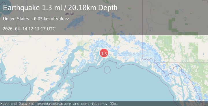
A 1.3 magnitude earthquake struck on 16 km SSW of Tatitlek, Alaska, at Tue, 14 Apr 2026 12:13:17 GMT. Depth: 20.1km. Reviewed by USGS seismologists, this minor quake occurred at a magnitude type of ml.
Magnitude
1.3
ml
Source
USGS
Intensity
-
Agency Reports
1 Sources| Source | Magnitude | Depth | Time |
|---|---|---|---|
| USGSPrimary | 1.3 | 20 km | 2 weeks ago |
Earthquake Details
AutomaticEvent IDusgs_aka2026hiacoc
QualityS
Tsunami PotentialNo
Magnitude Typeml
Last Update2 weeks ago
Used Stations25
Felt Reports0
Did you feel this earthquake? Report it to help others.
No reports yet
Be the first to report this earthquake!
Latest Earthquakes
Loading...
Nearby Earthquakes
1.2Mag
Southern Alaska
Time2 hours ago
Depth30.88 km
SourceVYT (Automatic)
1.1Mag
Southern Alaska
Time5 hours ago
Depth23.56 km
SourceVYT (Automatic)
1.5Mag
Southern Alaska
Time6 hours ago
Depth0.00 km
SourceVYT (Automatic)
1.1Mag
Southern Alaska
Time8 hours ago
Depth15.63 km
SourceVYT (Automatic)
1.5Mag
17 km NW of Tatitlek, Alaska
Time8 hours ago
Depth18.70 km
SourceUSGS (Automatic)