Earthquake 19 km NE of Maricopa, CA
Thu, 01 Jan 2026 05:38:09 GMT
Time2 hours ago
Location
35.1635, -119.2332
Depth
23.9 KM
Event Summary
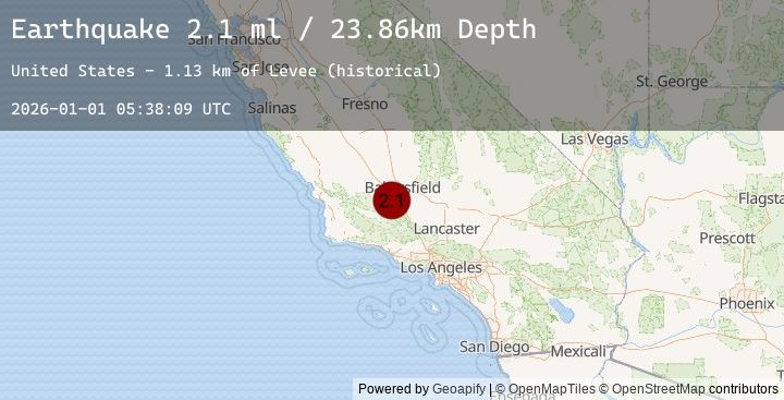
A 2.1 magnitude earthquake struck on 19 km NE of Maricopa, CA, at Thu, 01 Jan 2026 05:38:09 GMT. Depth: 23.86km. Reviewed by USGS seismologists, this minor quake occurred at a magnitude type of ml.
Magnitude
2.1
ml
Source
USGS
Intensity
-
Earthquake Details
AutomaticEvent IDusgs_ci41150511
Tsunami PotentialNo
Magnitude Typeml
Nearest Places
- Levee Spur1.1 km
- Levee (historical)1.3 km
- Millux3.6 km
- Paloma School (historical)5.0 km
- Kyan (historical)5.0 km
Comments
Join the discussion about this event.
Latest Earthquakes
4.3Mag
HINDU KUSH REGION, AFGHANISTAN
Time1 hour ago
Depth122.30 km
SourceEMSC (Automatic)
4.3Mag
44 km NE of Jurm, Afghanistan
Time1 hour ago
Depth122.27 km
SourceUSGS
4.8Mag
West Papua, Indonesia
Time1 hour ago
Depth131.28 km
SourceBMKG (Automatic)
5.0Mag
PAPUA, INDONESIA
Time1 hour ago
Depth136.70 km
SourceEMSC (Automatic)
5.0Mag
148 km NNE of Agats, Indonesia
Time1 hour ago
Depth136.72 km
SourceUSGS