Earthquake 20 km NNE of Ridgecrest, CA
Thu, 01 Jan 2026 14:53:52 GMT
Time1 hour ago
Location
35.7968, -117.6268
Depth
6.3 KM
Event Summary
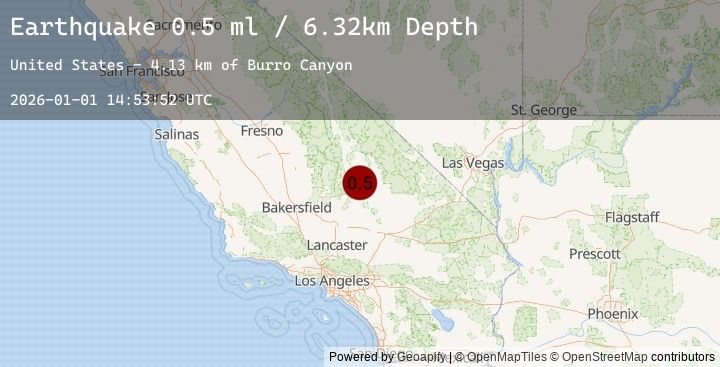
A 0.5 magnitude earthquake struck on 20 km NNE of Ridgecrest, CA, at Thu, 01 Jan 2026 14:53:52 GMT. Depth: 6.32km. Reviewed by USGS seismologists, this minor quake occurred at a magnitude type of ml.
Magnitude
0.5
ml
Source
USGS
Intensity
-
Earthquake Details
AutomaticEvent IDusgs_ci41150647
Tsunami PotentialNo
Magnitude Typeml
Nearest Places
- Paxton Ranch1.0 km
- Deadman Canyon4.4 km
- Burro Canyon4.8 km
- Burro Canyon Test Facility5.4 km
- Sterling Queen Mine6.3 km
Comments
Join the discussion about this event.
Latest Earthquakes
2.1Mag
6 km NNE of Castaic, CA
Time9 minutes ago
Depth9.43 km
SourceUSGS (Automatic)
2.2Mag
56 km WNW of Nanwalek, Alaska
Time15 minutes ago
Depth89.70 km
SourceUSGS (Automatic)
3.7Mag
SUCRE, VENEZUELA
Time17 minutes ago
Depth1.00 km
SourceEMSC (Automatic)
2.4Mag
Minahassa Peninsula, Sulawesi
Time18 minutes ago
Depth155.51 km
SourceBMKG (Automatic)
2.5Mag
SULAWESI, INDONESIA
Time18 minutes ago
Depth154.00 km
SourceEMSC (Automatic)
Nearby Earthquakes
0.7Mag
23 km ESE of Ridgecrest, CA
Time1 hour ago
Depth0.79 km
SourceUSGS (Automatic)
1.2Mag
22 km E of Little Lake, CA
Time6 hours ago
Depth2.69 km
SourceUSGS (Automatic)
1.4Mag
19 km S of Trona, CA
Time8 hours ago
Depth6.43 km
SourceUSGS (Automatic)
0.8Mag
12 km NE of Little Lake, CA
Time12 hours ago
Depth2.11 km
SourceUSGS (Automatic)
1.5Mag
22 km N of Ridgecrest, CA
Time17 hours ago
Depth8.72 km
SourceUSGS (Automatic)