Earthquake 21 km NNW of Tehachapi, CA
Sun, 04 Jan 2026 07:35:53 GMT
Time4 days ago
Location
35.3033, -118.5338
Depth
5.4 KM
Event Summary
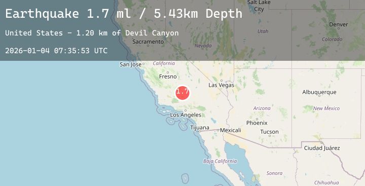
A 1.7 magnitude earthquake struck on 21 km NNW of Tehachapi, CA, at Sun, 04 Jan 2026 07:35:53 GMT. Depth: 5.43km. Reviewed by USGS seismologists, this minor quake occurred at a magnitude type of ml.
Magnitude
1.7
ml
Source
USGS
Intensity
-
Agency Reports
1 Sources| Source | Magnitude | Depth | Time |
|---|---|---|---|
| USGSPrimary | 1.7 | 5 km | 4 days ago |
Earthquake Details
AutomaticEvent IDusgs_ci41151975
Tsunami PotentialNo
Magnitude Typeml
Nearest Places
- Devil Canyon1.2 km
- Devils Elbow1.3 km
- Heck Canyon1.5 km
- Devils Backbone1.5 km
- Stag Saddle1.8 km
Comments
Join the discussion about this event.
Latest Earthquakes
3.2Mag
South of Java, Indonesia
Time3 days ago
Depth10.00 km
SourceBMKG (Automatic)
2.7Mag
Southern Sumatra, Indonesia
Time3 days ago
Depth82.69 km
SourceBMKG (Automatic)
2.1Mag
CENTRAL ITALY
Time3 days ago
Depth21.00 km
SourceINGV (Automatic)
3.6Mag
South of Java, Indonesia
Time3 days ago
Depth10.00 km
SourceBMKG (Automatic)
1.0Mag
6 km S of Redlands, CA
Time3 days ago
Depth14.14 km
SourceUSGS (Automatic)
Nearby Earthquakes
No significant earthquakes nearby recently.