Earthquake 18 km NW of Tehachapi, CA
Fri, 09 Jan 2026 04:49:39 GMT
Time2 days ago
Location
35.2463, -118.5833
Depth
9.0 KM
Event Summary
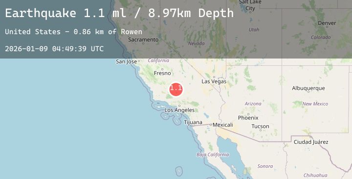
A 1.1 magnitude earthquake struck on 18 km NW of Tehachapi, CA, at Fri, 09 Jan 2026 04:49:39 GMT. Depth: 8.97km. Reviewed by USGS seismologists, this minor quake occurred at a magnitude type of ml.
Magnitude
1.1
ml
Source
USGS
Intensity
-
Agency Reports
1 Sources| Source | Magnitude | Depth | Time |
|---|---|---|---|
| USGSPrimary | 1.1 | 9 km | 2 days ago |
Earthquake Details
AutomaticEvent IDusgs_ci41154671
Tsunami PotentialNo
Magnitude Typeml
Nearest Places
- Rowen0.9 km
- Tunnel No 81.4 km
- Pine Spring1.4 km
- Tunnel No 72.0 km
- Barrington Spring2.0 km
Comments
Join the discussion about this event.
Latest Earthquakes
2.2Mag
Java, Indonesia
Time2 days ago
Depth23.69 km
SourceBMKG (Automatic)
2.1Mag
7 km WSW of Girdwood, Alaska
Time2 days ago
Depth25.90 km
SourceUSGS (Automatic)
1.5Mag
8 km NW of Harding-Birch Lakes, Alaska
Time2 days ago
Depth3.60 km
SourceUSGS (Automatic)
1.4Mag
7 km SSE of Banning, CA
Time2 days ago
Depth15.33 km
SourceUSGS (Automatic)
3.6Mag
MYANMAR
Time2 days ago
Depth10.00 km
SourceTSB (Automatic)