Earthquake 10 km E of Yucaipa, CA
Fri, 09 Jan 2026 18:41:54 GMT
Time2 days ago
Location
34.0243, -116.9382
Depth
3.5 KM
Event Summary
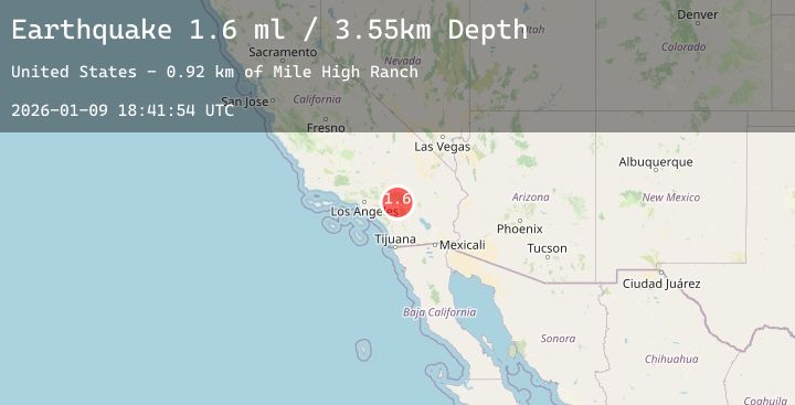
A 1.6 magnitude earthquake struck on 10 km E of Yucaipa, CA, at Fri, 09 Jan 2026 18:41:54 GMT. Depth: 3.54999995231628km. Reviewed by USGS seismologists, this minor quake occurred at a magnitude type of ml.
Magnitude
1.6
ml
Source
USGS
Intensity
-
Agency Reports
1 Sources| Source | Magnitude | Depth | Time |
|---|---|---|---|
| USGSPrimary | 1.6 | 4 km | 2 days ago |
Earthquake Details
AutomaticEvent IDusgs_ci41154887
Tsunami PotentialNo
Magnitude Typeml
Nearest Places
Comments
Join the discussion about this event.
Latest Earthquakes
1.5Mag
3 km NW of Ridgely, Tennessee
Time1 day ago
Depth4.81 km
SourceUSGS
2.0Mag
Bali Region, Indonesia
Time1 day ago
Depth34.33 km
SourceBMKG (Automatic)
2.3Mag
WESTERN TURKEY
Time2 days ago
Depth4.40 km
SourceKOERI (Automatic)
3.1Mag
SICILY, ITALY
Time2 days ago
Depth9.50 km
SourceINGV (Automatic)
1.2Mag
NORTHERN ITALY
Time2 days ago
Depth14.00 km
SourceOGS (Automatic)
Nearby Earthquakes
1.3Mag
12 km SSE of Anza, CA
Time2 days ago
Depth10.14 km
SourceUSGS (Automatic)
1.4Mag
7 km SSE of Banning, CA
Time2 days ago
Depth15.33 km
SourceUSGS (Automatic)
0.6Mag
23 km N of Borrego Springs, CA
Time2 days ago
Depth9.66 km
SourceUSGS (Automatic)
1.2Mag
3 km ESE of Lake Henshaw, CA
Time2 days ago
Depth11.47 km
SourceUSGS (Automatic)
0.7Mag
11 km N of Borrego Springs, CA
Time2 days ago
Depth12.27 km
SourceUSGS (Automatic)