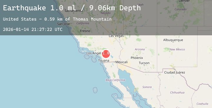
Earthquake 9 km N of Anza, CA
Wed, 14 Jan 2026 21:27:21 GMT
Time5 hours ago
Location
33.6327, -116.6850
Depth
13.6 KM
Event Summary
A 1.2 magnitude earthquake struck on 9 km N of Anza, CA, at Wed, 14 Jan 2026 21:27:21 GMT. Depth: 13.64km. Reviewed by USGS seismologists, this minor quake occurred at a magnitude type of ml.
Magnitude
1.2
ml
Source
USGS
Intensity
-
Agency Reports
4 Sources| Source | Magnitude | Depth | Time |
|---|---|---|---|
| USGSPrimary | 0.6 | 14 km | 5 hours ago |
| USGSPrimary | 1.0 | 12 km | 4 hours ago |
| USGSPrimary | 1.2 | 13 km | 4 hours ago |
| USGSPrimary | 1.1 | 13 km | 4 hours ago |
Earthquake Details
AutomaticEvent IDusgs_ci41157871
Tsunami PotentialNo
Magnitude Typeml
Nearest Places
- Little Thomas Mountain0.7 km
- Thomas Mountain Campground1.1 km
- Thomas Mountain1.5 km
- Magee Spring2.1 km
- Jozee Spring2.2 km
Comments
Join the discussion about this event.
Latest Earthquakes
2.3Mag
105 km NW of Yakutat, Alaska
Time1 hour ago
Depth5.00 km
SourceUSGS (Automatic)
1.8Mag
11 km SSE of Maria Antonia, Puerto Rico
Time2 hours ago
Depth11.14 km
SourceUSGS
1.0Mag
46 km NW of Karluk, Alaska
Time2 hours ago
Depth78.40 km
SourceUSGS (Automatic)
3.3Mag
Seram, Indonesia
Time2 hours ago
Depth8.68 km
SourceBMKG (Automatic)
2.0Mag
Sumbawa Region, Indonesia
Time2 hours ago
Depth21.43 km
SourceBMKG (Automatic)
Nearby Earthquakes
0.7Mag
14 km NNE of Ocotillo Wells, CA
Time3 hours ago
Depth10.23 km
SourceUSGS (Automatic)
1.6Mag
4 km SE of Home Gardens, CA
Time3 hours ago
Depth1.89 km
SourceUSGS (Automatic)
1.2Mag
11 km NNE of Borrego Springs, CA
Time6 hours ago
Depth14.41 km
SourceUSGS (Automatic)
1.1Mag
5 km NE of North Shore, CA
Time1 day ago
Depth2.40 km
SourceUSGS (Automatic)