Earthquake 16 km W of Alberto Oviedo Mota, B.C., MX
Tue, 20 Jan 2026 19:55:47 GMT
Time6 days ago
Location
32.2437, -115.3402
Depth
2.3 KM
Event Summary
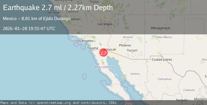
A 2.7 magnitude earthquake struck on 16 km W of Alberto Oviedo Mota, B.C., MX, at Tue, 20 Jan 2026 19:55:47 GMT. Depth: 2.27km. Reviewed by USGS seismologists, this minor quake occurred at a magnitude type of ml.
Magnitude
2.7
ml
Source
USGS
Intensity
-
Agency Reports
1 Sources| Source | Magnitude | Depth | Time |
|---|---|---|---|
| USGSPrimary | 2.7 | 2 km | 6 days ago |
Earthquake Details
ConfirmedEvent IDusgs_ci41165279
Tsunami PotentialNo
Magnitude Typeml
Nearest Places
Comments
Join the discussion about this event.
Latest Earthquakes
1.1Mag
30 km NE of Los Alamos, CA
Time11 minutes ago
Depth4.17 km
SourceUSGS (Automatic)
1.2Mag
EASTERN TURKEY
Time11 minutes ago
Depth7.00 km
SourceAFAD (Automatic)
2.6Mag
Timor Region
Time14 minutes ago
Depth35.26 km
SourceBMKG (Automatic)
2.3Mag
Sumbawa Region, Indonesia
Time14 minutes ago
Depth10.00 km
SourceBMKG (Automatic)
2.5Mag
Flores Sea
Time16 minutes ago
Depth26.93 km
SourceBMKG (Automatic)
Nearby Earthquakes
2.2Mag
BAJA CALIFORNIA, MEXICO
Time5 hours ago
Depth1.20 km
SourceSCSN (Automatic)
1.9Mag
9 km SSW of Alberto Oviedo Mota, B.C., MX
Time3 days ago
Depth7.51 km
SourceUSGS (Automatic)
1.4Mag
6 km NW of Delta, B.C., MX
Time4 days ago
Depth1.55 km
SourceUSGS (Automatic)
2.5Mag
BAJA CALIFORNIA, MEXICO
Time4 hours ago
Depth20.50 km
SourceSCSN (Automatic)
2.9Mag
BAJA CALIFORNIA, MEXICO
Time1 day ago
Depth18.30 km
SourceSCSN (Automatic)