Earthquake 12 km NE of Alpine, CA
Fri, 23 Jan 2026 08:39:00 GMT
Time4 days ago
Location
32.9135, -116.6855
Depth
4.3 KM
Event Summary
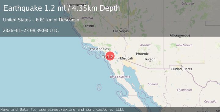
A 1.2 magnitude earthquake struck on 12 km NE of Alpine, CA, at Fri, 23 Jan 2026 08:39:00 GMT. Depth: 4.34999990463257km. Reviewed by USGS seismologists, this minor quake occurred at a magnitude type of ml.
Magnitude
1.2
ml
Source
USGS
Intensity
-
Agency Reports
1 Sources| Source | Magnitude | Depth | Time |
|---|---|---|---|
| USGSPrimary | 1.2 | 4 km | 4 days ago |
Earthquake Details
AutomaticEvent IDusgs_ci41169287
Tsunami PotentialNo
Magnitude Typeml
Nearest Places
- Echo Valley3.2 km
- Poverty Gulch3.3 km
- Spanish Bayonet Mine3.5 km
- King Creek3.6 km
- Tule Springs3.9 km
Comments
Join the discussion about this event.
Latest Earthquakes
2.0Mag
Southern Sumatra, Indonesia
Time9 minutes ago
Depth75.61 km
SourceBMKG (Automatic)
3.7Mag
Java, Indonesia
Time11 minutes ago
Depth26.88 km
SourceBMKG (Automatic)
1.7Mag
20 km ENE of Arvin, CA
Time12 minutes ago
Depth5.64 km
SourceUSGS (Automatic)
2.7Mag
PAPUA, INDONESIA
Time14 minutes ago
Depth10.00 km
SourceBMKG (Automatic)
2.3Mag
57 km E of Pedro Bay, Alaska
Time18 minutes ago
Depth120.40 km
SourceUSGS (Automatic)
Nearby Earthquakes
1.5Mag
10 km W of Pine Valley, CA
Time4 days ago
Depth16.27 km
SourceUSGS (Automatic)
1.3Mag
10 km W of Pine Valley, CA
Time1 day ago
Depth17.34 km
SourceUSGS (Automatic)
1.7Mag
11 km W of Pine Valley, CA
Time4 days ago
Depth16.60 km
SourceUSGS (Automatic)
1.5Mag
11 km W of Pine Valley, CA
Time4 days ago
Depth17.33 km
SourceUSGS (Automatic)
1.8Mag
10 km W of Pine Valley, CA
Time3 days ago
Depth17.24 km
SourceUSGS (Automatic)