Earthquake 57 km E of Pedro Bay, Alaska
Tue, 27 Jan 2026 15:24:30 GMT
Time1 hour ago
Location
59.8860, -153.1050
Depth
120.4 KM
Event Summary
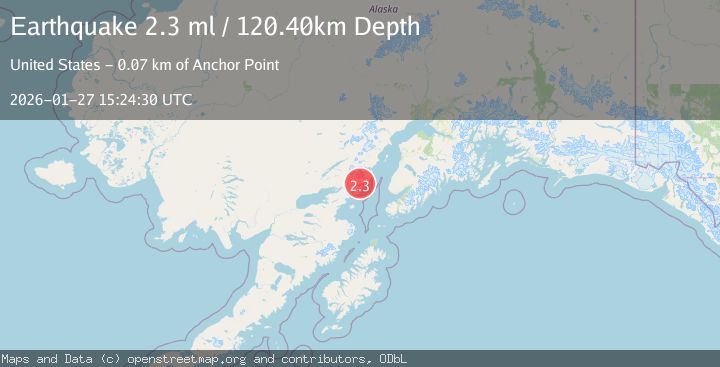
A 2.3 magnitude earthquake struck on 57 km E of Pedro Bay, Alaska, at Tue, 27 Jan 2026 15:24:30 GMT. Depth: 120.4km. Reviewed by USGS seismologists, this minor quake occurred at a magnitude type of ml.
Magnitude
2.3
ml
Source
USGS
Intensity
-
Agency Reports
1 Sources| Source | Magnitude | Depth | Time |
|---|---|---|---|
| USGSPrimary | 2.3 | 120 km | 1 hour ago |
Earthquake Details
AutomaticEvent IDusgs_ak2026bwxmzy
Tsunami PotentialNo
Magnitude Typeml
Nearest Places
- Horn Mountain0.5 km
- Horn Creek2.5 km
- Glacier Spit3.0 km
- Middle Glacier Creek3.8 km
- Chinitna Bay4.2 km
Comments
Join the discussion about this event.
Latest Earthquakes
3.4Mag
Banda Sea
Time8 minutes ago
Depth159.46 km
SourceBMKG (Automatic)
2.3Mag
SICILY, ITALY
Time12 minutes ago
Depth7.70 km
SourceINGV (Automatic)
3.2Mag
Talaud Islands, Indonesia
Time13 minutes ago
Depth32.03 km
SourceBMKG (Automatic)
3.4Mag
BAJA CALIFORNIA, MEXICO
Time15 minutes ago
Depth20.40 km
SourceSCSN (Automatic)
3.4Mag
Southwest of Sumatra, Indonesia
Time16 minutes ago
Depth10.00 km
SourceBMKG (Automatic)
Nearby Earthquakes
1.2Mag
53 km E of Pedro Bay, Alaska
Time5 days ago
Depth123.10 km
SourceUSGS (Automatic)
2.2Mag
61 km W of Anchor Point, Alaska
Time1 day ago
Depth97.80 km
SourceUSGS (Automatic)
1.5Mag
53 km E of Pedro Bay, Alaska
Time4 days ago
Depth120.40 km
SourceUSGS (Automatic)
2.6Mag
59 km W of Anchor Point, Alaska
Time1 day ago
Depth84.90 km
SourceUSGS (Automatic)
1.9Mag
64 km WNW of Anchor Point, Alaska
Time4 days ago
Depth114.20 km
SourceUSGS (Automatic)