Earthquake 14 km NNW of Westmorland, CA
Sun, 25 Jan 2026 10:31:04 GMT
Time2 days ago
Location
33.1545, -115.6595
Depth
6.8 KM
Event Summary
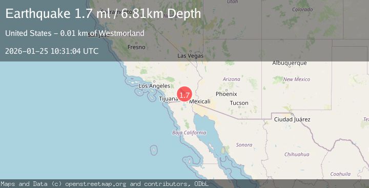
A 1.7 magnitude earthquake struck on 14 km NNW of Westmorland, CA, at Sun, 25 Jan 2026 10:31:04 GMT. Depth: 6.80999994277954km. Reviewed by USGS seismologists, this minor quake occurred at a magnitude type of ml.
Magnitude
1.7
ml
Source
USGS
Intensity
-
Agency Reports
1 Sources| Source | Magnitude | Depth | Time |
|---|---|---|---|
| USGSPrimary | 1.7 | 7 km | 2 days ago |
Earthquake Details
AutomaticEvent IDusgs_ci41171647
Tsunami PotentialNo
Magnitude Typeml
Nearest Places
- SCE Salton Sea Heliport1.3 km
- Vail Lateral Six1.7 km
- Vail Lateral Five-A2.4 km
- Vail Lateral Seven2.5 km
- Obsidian Butte2.8 km
Comments
Join the discussion about this event.
Latest Earthquakes
1.4Mag
41 km NW of Toyah, Texas
Time4 minutes ago
Depth2.74 km
SourceUSGS (Automatic)
2.0Mag
Sumbawa Region, Indonesia
Time9 minutes ago
Depth107.77 km
SourceBMKG (Automatic)
1.7Mag
26 km WNW of Ludlow, CA
Time13 minutes ago
Depth1.36 km
SourceUSGS (Automatic)
3.1Mag
HAITI REGION
Time15 minutes ago
Depth7.00 km
SourceAYIT (Automatic)
2.6Mag
PUERTO RICO
Time21 minutes ago
Depth16.10 km
SourcePR (Automatic)
Nearby Earthquakes
1.0Mag
16 km SSE of Bombay Beach, CA
Time1 day ago
Depth5.32 km
SourceUSGS (Automatic)
1.3Mag
8 km WSW of Calipatria, CA
Time2 days ago
Depth9.00 km
SourceUSGS (Automatic)
1.7Mag
2 km WNW of Brawley, CA
Time1 day ago
Depth10.62 km
SourceUSGS (Automatic)
1.5Mag
4 km WSW of Brawley, CA
Time1 day ago
Depth6.51 km
SourceUSGS (Automatic)
1.6Mag
9 km WNW of Holtville, CA
Time2 days ago
Depth9.30 km
SourceUSGS (Automatic)