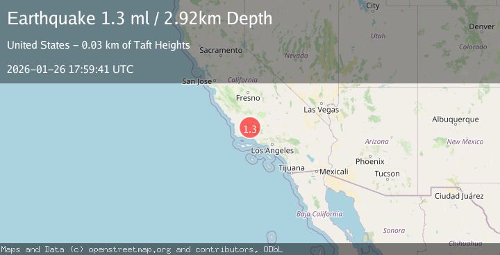
Earthquake 25 km WSW of Maricopa, CA
Mon, 26 Jan 2026 17:59:41 GMT
Time18 hours ago
Location
34.9417, -119.6368
Depth
2.9 KM
Event Summary
A 1.3 magnitude earthquake struck on 25 km WSW of Maricopa, CA, at Mon, 26 Jan 2026 17:59:41 GMT. Depth: 2.92000007629395km. Reviewed by USGS seismologists, this minor quake occurred at a magnitude type of ml.
Magnitude
1.3
ml
Source
USGS
Intensity
-
Agency Reports
1 Sources| Source | Magnitude | Depth | Time |
|---|---|---|---|
| USGSPrimary | 1.3 | 3 km | 18 hours ago |
Earthquake Details
AutomaticEvent IDusgs_ci41172807
Tsunami PotentialNo
Magnitude Typeml
Nearest Places
- Cuyama2.1 km
- Cuyama Elementary School2.7 km
- Turkey Trap Ridge2.9 km
- The Wash3.2 km
- Cuyama Ranch3.3 km
Comments
Join the discussion about this event.
Latest Earthquakes
2.6Mag
Minahassa Peninsula, Sulawesi
Time15 hours ago
Depth118.00 km
SourceBMKG (Automatic)
2.8Mag
South of Bali, Indonesia
Time15 hours ago
Depth10.00 km
SourceBMKG (Automatic)
1.7Mag
31 km SE of Denali National Park, Alaska
Time15 hours ago
Depth0.60 km
SourceUSGS (Automatic)
2.2Mag
WESTERN TURKEY
Time15 hours ago
Depth14.90 km
SourceKOERI (Automatic)
2.2Mag
13 km NW of Ferry, Alaska
Time15 hours ago
Depth139.50 km
SourceUSGS (Automatic)
Nearby Earthquakes
1.7Mag
5 km S of Carpinteria, CA
Time1 day ago
Depth3.45 km
SourceUSGS (Automatic)
1.8Mag
14 km S of Frazier Park, CA
Time3 days ago
Depth15.39 km
SourceUSGS (Automatic)
2.2Mag
SOUTHERN CALIFORNIA
Time1 day ago
Depth11.90 km
SourceSCSN (Automatic)
1.3Mag
11 km N of Piru, CA
Time1 day ago
Depth6.34 km
SourceUSGS (Automatic)
1.8Mag
7 km W of Oxnard, CA
Time2 days ago
Depth4.15 km
SourceUSGS (Automatic)