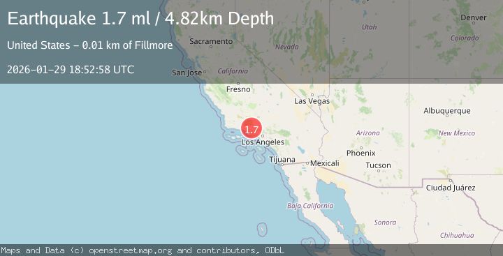
Earthquake 9 km N of Fillmore, CA
Thu, 29 Jan 2026 18:52:58 GMT
Time7 hours ago
Location
34.4832, -118.9227
Depth
4.8 KM
Event Summary
A 1.7 magnitude earthquake struck on 9 km N of Fillmore, CA, at Thu, 29 Jan 2026 18:52:58 GMT. Depth: 4.82000017166138km. Reviewed by USGS seismologists, this minor quake occurred at a magnitude type of ml.
Magnitude
1.7
ml
Source
USGS
Intensity
-
Agency Reports
1 Sources| Source | Magnitude | Depth | Time |
|---|---|---|---|
| USGSPrimary | 1.7 | 5 km | 7 hours ago |
Earthquake Details
AutomaticEvent IDusgs_ci41175727
Tsunami PotentialNo
Magnitude Typeml
Nearest Places
- Maple Creek1.1 km
- Oak Flat1.8 km
- Oak Flat Station1.8 km
- Tar Creek1.9 km
- Green Cabins Site2.4 km
Comments
Join the discussion about this event.
Latest Earthquakes
2.6Mag
51 km E of Pedro Bay, Alaska
Time10 minutes ago
Depth114.80 km
SourceUSGS (Automatic)
2.7Mag
WESTERN TURKEY
Time13 minutes ago
Depth6.30 km
SourceKOERI (Automatic)
1.9Mag
70 km ENE of Chase, Alaska
Time21 minutes ago
Depth0.90 km
SourceUSGS (Automatic)
1.3Mag
TURKEY-SYRIA-IRAQ BORDER REGION
Time23 minutes ago
Depth9.40 km
SourceAFAD (Automatic)
2.3Mag
WESTERN TURKEY
Time24 minutes ago
Depth11.70 km
SourceKOERI (Automatic)
Nearby Earthquakes
2.2Mag
SOUTHERN CALIFORNIA
Time4 days ago
Depth11.90 km
SourceSCSN (Automatic)
1.3Mag
11 km N of Piru, CA
Time3 days ago
Depth6.34 km
SourceUSGS (Automatic)
1.8Mag
14 km S of Frazier Park, CA
Time6 days ago
Depth15.39 km
SourceUSGS (Automatic)
1.8Mag
7 km W of Oxnard, CA
Time4 days ago
Depth4.15 km
SourceUSGS (Automatic)
1.9Mag
13 km NE of Carpinteria, CA
Time2 days ago
Depth2.49 km
SourceUSGS (Automatic)