Earthquake 7 km S of Pearblossom, CA
Fri, 30 Jan 2026 08:26:25 GMT
Time3 hours ago
Location
34.4450, -117.9123
Depth
9.5 KM
Event Summary
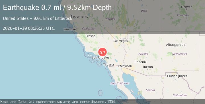
A 0.7 magnitude earthquake struck on 7 km S of Pearblossom, CA, at Fri, 30 Jan 2026 08:26:25 GMT. Depth: 9.52km. Reviewed by USGS seismologists, this minor quake occurred at a magnitude type of ml.
Magnitude
0.7
ml
Source
USGS
Intensity
-
Agency Reports
1 Sources| Source | Magnitude | Depth | Time |
|---|---|---|---|
| USGSPrimary | 0.7 | 10 km | 3 hours ago |
Earthquake Details
AutomaticEvent IDusgs_ci41176175
Tsunami PotentialNo
Magnitude Typeml
Nearest Places
- Miller Canyon1.1 km
- McClure Canyon1.2 km
- John Bird Canyon1.3 km
- Stanton Ranch1.7 km
- Holmes Creek1.8 km
Comments
Join the discussion about this event.
Latest Earthquakes
3.2Mag
Northern Sumatra, Indonesia
Time2 minutes ago
Depth73.33 km
SourceBMKG (Automatic)
2.6Mag
28 km WNW of Happy Valley, Alaska
Time3 minutes ago
Depth76.30 km
SourceUSGS (Automatic)
2.3Mag
FRANCE
Time8 minutes ago
Depth5.00 km
SourceReNaSS (Automatic)
4.1Mag
North of Halmahera, Indonesia
Time11 minutes ago
Depth5.50 km
SourceBMKG (Automatic)
2.7Mag
Java, Indonesia
Time12 minutes ago
Depth15.61 km
SourceBMKG (Automatic)
Nearby Earthquakes
1.3Mag
8 km NE of La Crescenta-Montrose, CA
Time5 days ago
Depth8.25 km
SourceUSGS (Automatic)
0.9Mag
2 km WSW of Lytle Creek, CA
Time1 week ago
Depth9.66 km
SourceUSGS (Automatic)
1.0Mag
1 km N of West Puente Valley, CA
Time5 days ago
Depth12.19 km
SourceUSGS (Automatic)
1.2Mag
7 km N of Fontana, CA
Time1 week ago
Depth7.23 km
SourceUSGS (Automatic)
1.3Mag
2 km S of Devore, CA
Time1 week ago
Depth11.68 km
SourceUSGS (Automatic)