Earthquake 26 km WNW of Ocotillo, CA
Sat, 31 Jan 2026 21:29:41 GMT
Time2 days ago
Location
32.8477, -116.2377
Depth
14.2 KM
Event Summary
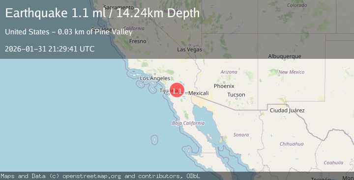
A 1.1 magnitude earthquake struck on 26 km WNW of Ocotillo, CA, at Sat, 31 Jan 2026 21:29:41 GMT. Depth: 14.2399997711182km. Reviewed by USGS seismologists, this minor quake occurred at a magnitude type of ml.
Magnitude
1.1
ml
Source
USGS
Intensity
-
Agency Reports
1 Sources| Source | Magnitude | Depth | Time |
|---|---|---|---|
| USGSPrimary | 1.1 | 14 km | 2 days ago |
Earthquake Details
AutomaticEvent IDusgs_ci41177327
Tsunami PotentialNo
Magnitude Typeml
Nearest Places
- Bow Willow Canyon1.1 km
- Bow Willow Ranger Station1.3 km
- Southwest Grove1.4 km
- South Fork Indian Valley1.8 km
- North Fork Indian Valley1.8 km
Comments
Join the discussion about this event.
Latest Earthquakes
2.5Mag
Flores Region, Indonesia
Time2 hours ago
Depth170.05 km
SourceBMKG (Automatic)
1.7Mag
44 km NW of Tatitlek, Alaska
Time2 hours ago
Depth5.00 km
SourceUSGS (Automatic)
2.1Mag
Sumbawa Region, Indonesia
Time2 hours ago
Depth10.00 km
SourceBMKG (Automatic)
1.8Mag
4 km SE of San Ramon, CA
Time2 hours ago
Depth6.96 km
SourceUSGS (Automatic)
3.3Mag
Java, Indonesia
Time2 hours ago
Depth90.20 km
SourceBMKG (Automatic)
Nearby Earthquakes
1.1Mag
28 km SSW of Ocotillo Wells, CA
Time9 hours ago
Depth8.27 km
SourceUSGS (Automatic)
1.2Mag
13 km ESE of Pine Valley, CA
Time2 days ago
Depth14.83 km
SourceUSGS (Automatic)
1.2Mag
17 km NE of Pine Valley, CA
Time3 days ago
Depth4.90 km
SourceUSGS (Automatic)
1.6Mag
16 km NE of Pine Valley, CA
Time19 hours ago
Depth5.04 km
SourceUSGS (Automatic)
1.8Mag
24 km ESE of Julian, CA
Time1 week ago
Depth9.76 km
SourceUSGS (Automatic)