Earthquake 25 km WNW of Inyokern, CA
Wed, 11 Feb 2026 10:51:42 GMT
Time1 week ago
Location
35.7295, -118.0737
Depth
1.9 KM
Event Summary
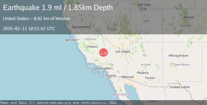
A 1.9 magnitude earthquake struck on 25 km WNW of Inyokern, CA, at Wed, 11 Feb 2026 10:51:42 GMT. Depth: 1.85000002384186km. Reviewed by USGS seismologists, this minor quake occurred at a magnitude type of ml.
Magnitude
1.9
ml
Source
USGS
Intensity
-
Agency Reports
1 Sources| Source | Magnitude | Depth | Time |
|---|---|---|---|
| USGSPrimary | 1.9 | 2 km | 1 week ago |
Earthquake Details
AutomaticEvent IDusgs_ci41395712
Tsunami PotentialNo
Magnitude Typeml
Nearest Places
- Canebrake (historical)0.5 km
- Berts Canyon0.7 km
- Cow Canyon1.4 km
- Coyote Spring1.6 km
- Pilot Well2.5 km
Comments
Join the discussion about this event.
Latest Earthquakes
1.7Mag
western Texas
Time4 minutes ago
Depth3.42 km
SourceVYT (Automatic)
3.5Mag
Seram, Indonesia
Time6 minutes ago
Depth0.00 km
SourceVYT (Automatic)
1.6Mag
54 km WNW of Toyah, Texas
Time12 minutes ago
Depth0.00 km
SourceUSGS (Automatic)
2.2Mag
West Papua Region, Indonesia
Time13 minutes ago
Depth26.69 km
SourceBMKG
1.2Mag
WESTERN TURKEY
Time14 minutes ago
Depth7.00 km
SourceAFAD (Automatic)
Nearby Earthquakes
2.1Mag
Central California
Time1 week ago
Depth15.14 km
SourceVYT (Automatic)
1.6Mag
20 km ESE of Wofford Heights, CA
Time1 week ago
Depth9.94 km
SourceUSGS (Automatic)
0.8Mag
30 km ESE of Lake Isabella, CA
Time23 hours ago
Depth6.21 km
SourceUSGS (Automatic)
2.0Mag
8 km NNE of Inyokern, CA
Time1 week ago
Depth6.69 km
SourceUSGS (Automatic)
0.6Mag
12 km NNE of Kernville, CA
Time3 weeks ago
Depth11.44 km
SourceUSGS (Automatic)