Earthquake 7 km NNE of Mexicali, B.C., MX
Thu, 05 Mar 2026 10:07:10 GMT
Time17 hours ago
Location
32.7033, -115.4333
Depth
13.4 KM
Event Summary
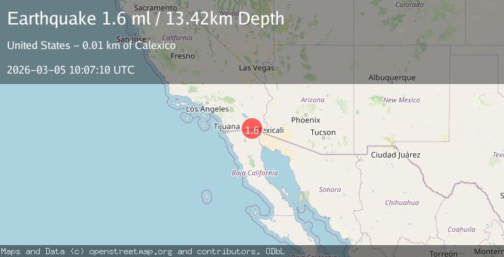
A 1.6 magnitude earthquake struck on 7 km NNE of Mexicali, B.C., MX, at Thu, 05 Mar 2026 10:07:10 GMT. Depth: 13.42km. Reviewed by USGS seismologists, this minor quake occurred at a magnitude type of ml.
Magnitude
1.6
ml
Source
USGS
Intensity
-
Agency Reports
1 Sources| Source | Magnitude | Depth | Time |
|---|---|---|---|
| USGSPrimary | 1.6 | 13 km | 17 hours ago |
Earthquake Details
AutomaticEvent IDusgs_ci41197743
Tsunami PotentialNo
Magnitude Typeml
Nearest Places
- 0.7 km
- 1.1 km
- 1.2 km
- 1.4 km
- 1.5 km
Comments
Join the discussion about this event.
Latest Earthquakes
1.9Mag
7 km ENE of Calexico, CA
Time9 hours ago
Depth10.53 km
SourceUSGS (Automatic)
2.1Mag
Region Metropolitana, Chile
Time9 hours ago
Depth17.70 km
SourceVYT (Automatic)
2.9Mag
Mendoza, Argentina
Time9 hours ago
Depth3.78 km
SourceVYT (Automatic)
3.5Mag
Banda Sea
Time9 hours ago
Depth166.38 km
SourceVYT (Automatic)
3.0Mag
South of Java, Indonesia
Time9 hours ago
Depth18.05 km
SourceBMKG
Nearby Earthquakes
1.9Mag
7 km ENE of Calexico, CA
Time9 hours ago
Depth10.53 km
SourceUSGS (Automatic)
1.6Mag
7 km ENE of Calexico, CA
Time22 hours ago
Depth11.68 km
SourceUSGS (Automatic)
2.1Mag
7 km ENE of Calexico, CA
Time1 day ago
Depth12.35 km
SourceUSGS (Automatic)
1.8Mag
6 km ENE of Calexico, CA
Time23 hours ago
Depth13.61 km
SourceUSGS (Automatic)
1.8Mag
6 km NE of Mexicali, B.C., MX
Time1 day ago
Depth14.45 km
SourceUSGS (Automatic)