Earthquake 10 km NW of Anza, CA
Thu, 05 Mar 2026 14:19:39 GMT
Time3 hours ago
Location
33.6268, -116.7465
Depth
15.6 KM
Event Summary
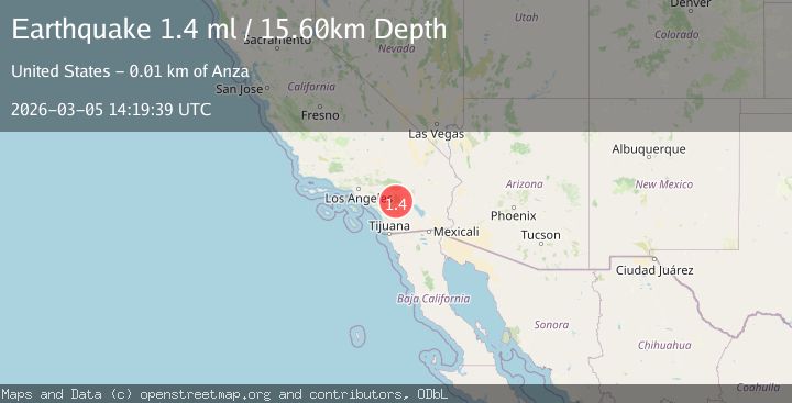
A 1.4 magnitude earthquake struck on 10 km NW of Anza, CA, at Thu, 05 Mar 2026 14:19:39 GMT. Depth: 15.6000003814697km. Reviewed by USGS seismologists, this minor quake occurred at a magnitude type of ml.
Magnitude
1.4
ml
Source
USGS
Intensity
-
Agency Reports
1 Sources| Source | Magnitude | Depth | Time |
|---|---|---|---|
| USGSPrimary | 1.4 | 16 km | 3 hours ago |
Earthquake Details
AutomaticEvent IDusgs_ci41197887
Tsunami PotentialNo
Magnitude Typeml
Nearest Places
- 1.4 km
- 2.2 km
- 2.4 km
- 2.7 km
- 3.0 km
Comments
Join the discussion about this event.
Latest Earthquakes
2.4Mag
Sulawesi, Indonesia
Time3 hours ago
Depth89.23 km
SourceVYT (Automatic)
2.4Mag
Sulawesi, Indonesia
Time3 hours ago
Depth2.95 km
SourceBMKG
1.1Mag
6 km WNW of The Geysers, CA
Time3 hours ago
Depth3.43 km
SourceUSGS (Automatic)
0.5Mag
55 km NW of Toyah, Texas
Time3 hours ago
Depth0.00 km
SourceUSGS (Automatic)
2.9Mag
Central Alaska
Time3 hours ago
Depth62.38 km
SourceVYT (Automatic)
Nearby Earthquakes
0.4Mag
11 km NW of Anza, CA
Time4 hours ago
Depth13.43 km
SourceUSGS (Automatic)
1.8Mag
Southern California
Time1 week ago
Depth6.71 km
SourceVYT (Automatic)
1.3Mag
11 km NW of Anza, CA
Time1 month ago
Depth18.86 km
SourceUSGS (Automatic)
2.0Mag
Southern California
Time1 week ago
Depth17.82 km
SourceVYT (Automatic)
1.2Mag
10 km NNW of Anza, CA
Time1 week ago
Depth16.33 km
SourceUSGS (Automatic)