Earthquake 10 km N of Aguanga, CA
Thu, 05 Mar 2026 23:09:54 GMT
Time2 hours ago
Location
33.5302, -116.8517
Depth
8.6 KM
Event Summary
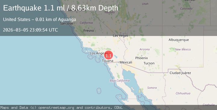
A 1.1 magnitude earthquake struck on 10 km N of Aguanga, CA, at Thu, 05 Mar 2026 23:09:54 GMT. Depth: 8.63000011444092km. Reviewed by USGS seismologists, this minor quake occurred at a magnitude type of ml.
Magnitude
1.1
ml
Source
USGS
Intensity
-
Agency Reports
1 Sources| Source | Magnitude | Depth | Time |
|---|---|---|---|
| USGSPrimary | 1.1 | 9 km | 2 hours ago |
Earthquake Details
AutomaticEvent IDusgs_ci41198223
Tsunami PotentialNo
Magnitude Typeml
Nearest Places
- 0.7 km
- 3.6 km
- 5.0 km
- 5.1 km
- 5.2 km
Comments
Join the discussion about this event.
Latest Earthquakes
2.7Mag
Antofagasta, Chile
Time2 hours ago
Depth129.52 km
SourceVYT (Automatic)
2.2Mag
Southeastern Alaska
Time2 hours ago
Depth11.11 km
SourceVYT (Automatic)
1.6Mag
31 km NNW of Beluga, Alaska
Time2 hours ago
Depth73.40 km
SourceUSGS (Automatic)
1.8Mag
12 km N of Toyah, Texas
Time2 hours ago
Depth6.84 km
SourceUSGS (Automatic)
0.8Mag
6 km WNW of The Geysers, CA
Time3 hours ago
Depth3.80 km
SourceUSGS (Automatic)
Nearby Earthquakes
0.5Mag
10 km N of Aguanga, CA
Time4 days ago
Depth12.86 km
SourceUSGS (Automatic)
1.6Mag
13 km N of Aguanga, CA
Time1 week ago
Depth3.08 km
SourceUSGS (Automatic)
3.0Mag
SOUTHERN CALIFORNIA
Time7 years ago
Depth2.00 km
SourceNEIR (Automatic)
3.0Mag
SOUTHERN CALIFORNIA
Time7 years ago
Depth6.00 km
SourceNEIC (Automatic)
3.0Mag
SOUTHERN CALIFORNIA
Time7 years ago
Depth2.00 km
SourceNEIR (Automatic)