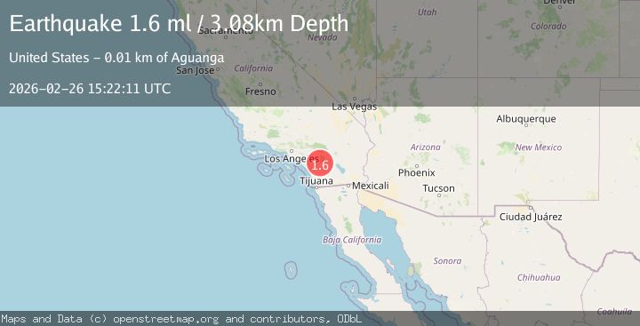
Earthquake 13 km N of Aguanga, CA
Thu, 26 Feb 2026 15:22:11 GMT
Time1 hour ago
Location
33.5555, -116.8413
Depth
3.1 KM
Event Summary
A 1.6 magnitude earthquake struck on 13 km N of Aguanga, CA, at Thu, 26 Feb 2026 15:22:11 GMT. Depth: 3.07999992370605km. Reviewed by USGS seismologists, this minor quake occurred at a magnitude type of ml.
Magnitude
1.6
ml
Source
USGS
Intensity
-
Agency Reports
1 Sources| Source | Magnitude | Depth | Time |
|---|---|---|---|
| USGSPrimary | 1.6 | 3 km | 1 hour ago |
Earthquake Details
AutomaticEvent IDusgs_ci41404336
Tsunami PotentialNo
Magnitude Typeml
Nearest Places
- 2.3 km
- 2.4 km
- 4.2 km
- 4.7 km
- 4.8 km
Comments
Join the discussion about this event.
Latest Earthquakes
1.3Mag
1 km NNW of The Geysers, CA
Time1 hour ago
Depth2.69 km
SourceUSGS (Automatic)
1.1Mag
8 km NE of Aguanga, CA
Time1 hour ago
Depth7.83 km
SourceUSGS (Automatic)
1.2Mag
35 km NW of Stanton, Texas
Time1 hour ago
Depth13.91 km
SourceUSGS (Automatic)
2.5Mag
Tarapaca, Chile
Time1 hour ago
Depth111.08 km
SourceVYT (Automatic)
5.1Mag
south of the Fiji Islands
Time1 hour ago
Depth542.11 km
SourceVYT (Automatic)
Nearby Earthquakes
3.0Mag
SOUTHERN CALIFORNIA
Time10 years ago
Depth9.00 km
SourceNEIC (Automatic)
0.0Mag
17 km S of Valle Vista, CA
Time2 weeks ago
Depth4.34 km
SourceUSGS (Automatic)
1.4Mag
16 km SSE of Valle Vista, CA
Time3 weeks ago
Depth14.27 km
SourceUSGS (Automatic)
3.0Mag
SOUTHERN CALIFORNIA
Time7 years ago
Depth2.00 km
SourceNEIR (Automatic)
3.0Mag
SOUTHERN CALIFORNIA
Time7 years ago
Depth2.00 km
SourceNEIR (Automatic)