Earthquake 9 km S of Yucca Valley, CA
Fri, 06 Mar 2026 17:01:53 GMT
Time9 hours ago
Location
34.0358, -116.4353
Depth
7.5 KM
Event Summary
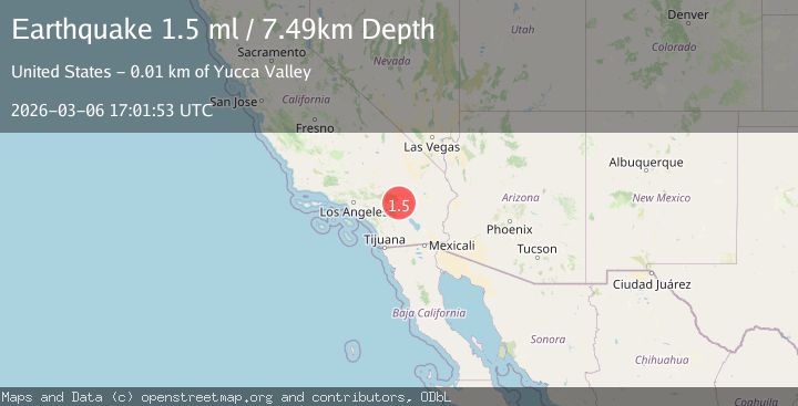
A 1.5 magnitude earthquake struck on 9 km S of Yucca Valley, CA, at Fri, 06 Mar 2026 17:01:53 GMT. Depth: 7.48999977111816km. Reviewed by USGS seismologists, this minor quake occurred at a magnitude type of ml.
Magnitude
1.5
ml
Source
USGS
Intensity
-
Agency Reports
1 Sources| Source | Magnitude | Depth | Time |
|---|---|---|---|
| USGSPrimary | 1.5 | 7 km | 9 hours ago |
Earthquake Details
AutomaticEvent IDusgs_ci41198831
Tsunami PotentialNo
Magnitude Typeml
Nearest Places
- 2.2 km
- 3.5 km
- 3.9 km
- 4.3 km
- 5.1 km
Comments
Join the discussion about this event.
Latest Earthquakes
1.3Mag
9 km S of Banning, CA
Time5 minutes ago
Depth16.39 km
SourceUSGS (Automatic)
3.3Mag
Rat Islands, Aleutian Islands, Alaska
Time6 minutes ago
Depth0.00 km
SourceVYT (Automatic)
2.5Mag
SOUTHERN GREECE
Time18 minutes ago
Depth16.30 km
SourceNOA (Automatic)
1.5Mag
STRAIT OF GIBRALTAR
Time32 minutes ago
Depth5.50 km
SourceIGN (Automatic)
1.4Mag
9 km WSW of Corona, CA
Time32 minutes ago
Depth3.71 km
SourceUSGS (Automatic)
Nearby Earthquakes
1.3Mag
9 km S of Banning, CA
Time5 minutes ago
Depth16.39 km
SourceUSGS (Automatic)
1.6Mag
4 km W of Lake Henshaw, CA
Time36 minutes ago
Depth11.30 km
SourceUSGS (Automatic)
0.6Mag
3 km W of Lake Henshaw, CA
Time41 minutes ago
Depth13.30 km
SourceUSGS (Automatic)
2.3Mag
Southern California
Time45 minutes ago
Depth0.00 km
SourceVYT (Automatic)
1.1Mag
10 km NNW of Idyllwild, CA
Time5 hours ago
Depth15.80 km
SourceUSGS (Automatic)