Earthquake 6 km N of Anza, CA
Thu, 05 Feb 2026 11:43:03 GMT
Time4 days ago
Location
33.6132, -116.6690
Depth
13.2 KM
Event Summary
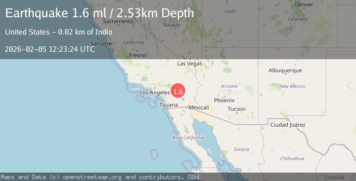
A 1.6 magnitude earthquake struck on 6 km N of Anza, CA, at Thu, 05 Feb 2026 11:43:03 GMT. Depth: 13.18km. Reviewed by USGS seismologists, this minor quake occurred at a magnitude type of ml.
Magnitude
1.6
ml
Source
USGS
Intensity
-
Agency Reports
1 Sources| Source | Magnitude | Depth | Time |
|---|---|---|---|
| USGSPrimary | 1.6 | 3 km | 4 days ago |
Earthquake Details
AutomaticEvent IDusgs_ci41392200
Tsunami PotentialNo
Magnitude Typeml
Nearest Places
- Ramona Campground0.8 km
- Tool Box Spring Campgorund0.8 km
- Tool Box Spring Campground0.8 km
- Tool Box Spring0.8 km
- Ramona Trail0.8 km
Comments
Join the discussion about this event.
Latest Earthquakes
2.0Mag
20 km WNW of Sunnyside-Tahoe City, CA
Time3 hours ago
Depth-1.58 km
SourceUSGS (Automatic)
2.5Mag
IONIAN SEA
Time3 hours ago
Depth4.10 km
SourceNOA (Automatic)
4.3Mag
CATAMARCA, ARGENTINA
Time3 hours ago
Depth180.00 km
SourceNSNA (Automatic)
0.7Mag
13 km ENE of Cloverdale, CA
Time3 hours ago
Depth2.32 km
SourceUSGS (Automatic)
1.1Mag
11 km W of Forsan, Texas
Time3 hours ago
Depth1.29 km
SourceUSGS (Automatic)
Nearby Earthquakes
0.5Mag
6 km NNW of Anza, CA
Time5 hours ago
Depth16.80 km
SourceUSGS (Automatic)
1.7Mag
10 km NNW of Anza, CA
Time1 week ago
Depth15.79 km
SourceUSGS (Automatic)
1.0Mag
8 km NE of Anza, CA
Time2 weeks ago
Depth12.40 km
SourceUSGS (Automatic)
0.6Mag
11 km S of Idyllwild, CA
Time1 week ago
Depth15.10 km
SourceUSGS (Automatic)
1.3Mag
11 km NW of Anza, CA
Time2 weeks ago
Depth18.86 km
SourceUSGS (Automatic)