Earthquake 10 km NNW of Anza, CA
Tue, 27 Jan 2026 15:59:03 GMT
Time4 hours ago
Location
33.6358, -116.7088
Depth
15.8 KM
Event Summary
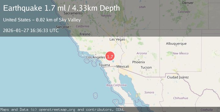
A 1.7 magnitude earthquake struck on 10 km NNW of Anza, CA, at Tue, 27 Jan 2026 15:59:03 GMT. Depth: 15.79km. Reviewed by USGS seismologists, this minor quake occurred at a magnitude type of ml.
Magnitude
1.7
ml
Source
USGS
Intensity
-
Agency Reports
1 Sources| Source | Magnitude | Depth | Time |
|---|---|---|---|
| USGSPrimary | 1.7 | 4 km | 3 hours ago |
Earthquake Details
AutomaticEvent IDusgs_ci41173703
Tsunami PotentialNo
Magnitude Typeml
Nearest Places
- Jozee Spring1.6 km
- Little Thomas Mountain1.8 km
- Pine Tree Spring2.2 km
- Hog Lake2.3 km
- Spillway Canyon2.7 km
Comments
Join the discussion about this event.
Latest Earthquakes
3.8Mag
EASTERN TURKEY
Time9 minutes ago
Depth14.60 km
SourceAFAD (Automatic)
2.2Mag
Sulawesi, Indonesia
Time9 minutes ago
Depth4.07 km
SourceBMKG (Automatic)
1.8Mag
1 km NW of Pāhala, Hawaii
Time15 minutes ago
Depth33.59 km
SourceUSGS (Automatic)
1.2Mag
3 km SE of Home Gardens, CA
Time20 minutes ago
Depth2.12 km
SourceUSGS (Automatic)
2.7Mag
Sumbawa Region, Indonesia
Time24 minutes ago
Depth111.29 km
SourceBMKG (Automatic)
Nearby Earthquakes
1.3Mag
11 km NW of Anza, CA
Time2 days ago
Depth18.86 km
SourceUSGS (Automatic)
1.2Mag
9 km SSW of Idyllwild, CA
Time14 hours ago
Depth15.89 km
SourceUSGS (Automatic)
1.0Mag
8 km NE of Anza, CA
Time4 days ago
Depth12.40 km
SourceUSGS (Automatic)
1.9Mag
5 km WSW of Anza, CA
Time1 day ago
Depth7.14 km
SourceUSGS (Automatic)
1.0Mag
6 km WSW of Anza, CA
Time15 hours ago
Depth4.44 km
SourceUSGS (Automatic)