Earthquake 23 km N of Ridgecrest, CA
Sun, 08 Feb 2026 04:26:54 GMT
Time1 hour ago
Location
35.8275, -117.6815
Depth
7.9 KM
Event Summary
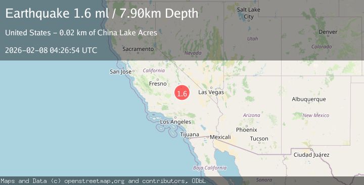
A 1.6 magnitude earthquake struck on 23 km N of Ridgecrest, CA, at Sun, 08 Feb 2026 04:26:54 GMT. Depth: 7.90000009536743km. Reviewed by USGS seismologists, this minor quake occurred at a magnitude type of ml.
Magnitude
1.6
ml
Source
USGS
Intensity
-
Agency Reports
1 Sources| Source | Magnitude | Depth | Time |
|---|---|---|---|
| USGSPrimary | 1.6 | 8 km | 1 hour ago |
Earthquake Details
AutomaticEvent IDusgs_ci41393736
Tsunami PotentialNo
Magnitude Typeml
Nearest Places
- White Hills5.5 km
- Dry Lakes6.3 km
- Paxton Ranch6.5 km
- Deadman Canyon8.1 km
- Sterling Queen Mine8.7 km
Comments
Join the discussion about this event.
Latest Earthquakes
3.3Mag
South of Timor, Indonesia
Time7 minutes ago
Depth33.65 km
SourceBMKG (Automatic)
1.9Mag
80 km NNW of Karluk, Alaska
Time12 minutes ago
Depth6.10 km
SourceUSGS (Automatic)
1.4Mag
EASTERN TURKEY
Time12 minutes ago
Depth7.80 km
SourceAFAD (Automatic)
3.1Mag
Java Sea
Time19 minutes ago
Depth5.00 km
SourceBMKG (Automatic)
1.6Mag
8 km NE of Barstow, Texas
Time21 minutes ago
Depth3.98 km
SourceUSGS (Automatic)
Nearby Earthquakes
1.7Mag
22 km N of Ridgecrest, CA
Time4 days ago
Depth7.95 km
SourceUSGS (Automatic)
1.3Mag
Central California
Time2 weeks ago
Depth6.75 km
SourceUSGS (Automatic)
1.8Mag
22 km ESE of Little Lake, CA
Time1 week ago
Depth4.68 km
SourceUSGS (Automatic)
0.6Mag
19 km NNE of Ridgecrest, CA
Time2 weeks ago
Depth8.30 km
SourceUSGS (Automatic)
1.0Mag
20 km E of Little Lake, CA
Time1 week ago
Depth11.06 km
SourceUSGS (Automatic)