Earthquake 22 km N of Ridgecrest, CA
Tue, 03 Feb 2026 21:25:57 GMT
Time19 hours ago
Location
35.8152, -117.6417
Depth
7.9 KM
Event Summary
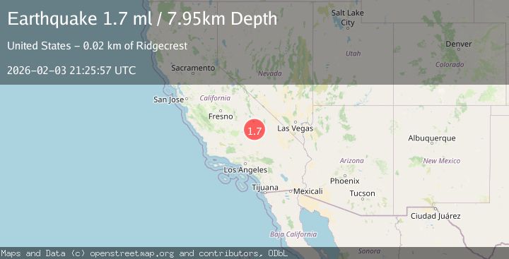
A 1.7 magnitude earthquake struck on 22 km N of Ridgecrest, CA, at Tue, 03 Feb 2026 21:25:57 GMT. Depth: 7.94999980926514km. Reviewed by USGS seismologists, this minor quake occurred at a magnitude type of ml.
Magnitude
1.7
ml
Source
USGS
Intensity
-
Agency Reports
1 Sources| Source | Magnitude | Depth | Time |
|---|---|---|---|
| USGSPrimary | 1.7 | 8 km | 19 hours ago |
Earthquake Details
AutomaticEvent IDusgs_ci41391112
Tsunami PotentialNo
Magnitude Typeml
Nearest Places
- Paxton Ranch2.7 km
- Deadman Canyon4.6 km
- Sterling Queen Mine5.8 km
- Burro Canyon6.4 km
- Burro Canyon Test Facility6.8 km
Comments
Join the discussion about this event.
Latest Earthquakes
2.9Mag
Banda Sea
Time17 hours ago
Depth232.99 km
SourceBMKG (Automatic)
1.7Mag
10 km WNW of Lake Elsinore, CA
Time17 hours ago
Depth10.88 km
SourceUSGS (Automatic)
1.6Mag
17 km SSE of Glacier View, Alaska
Time17 hours ago
Depth28.40 km
SourceUSGS (Automatic)
4.4Mag
BOUGAINVILLE REGION, P.N.G.
Time18 hours ago
Depth187.60 km
SourceNEIC (Automatic)
3.0Mag
Northern Sumatra, Indonesia
Time18 hours ago
Depth3.00 km
SourceBMKG (Automatic)
Nearby Earthquakes
0.6Mag
19 km NNE of Ridgecrest, CA
Time1 week ago
Depth8.30 km
SourceUSGS (Automatic)
1.3Mag
Central California
Time2 weeks ago
Depth6.75 km
SourceUSGS (Automatic)
1.8Mag
22 km ESE of Little Lake, CA
Time5 days ago
Depth4.68 km
SourceUSGS (Automatic)
1.5Mag
17 km NNE of Ridgecrest, CA
Time5 days ago
Depth8.41 km
SourceUSGS (Automatic)
0.5Mag
17 km W of Searles Valley, CA
Time3 days ago
Depth9.98 km
SourceUSGS (Automatic)