Earthquake 20 km NE of Coachella, CA
Thu, 12 Feb 2026 10:00:40 GMT
Time6 days ago
Location
33.7803, -115.9952
Depth
4.5 KM
Event Summary
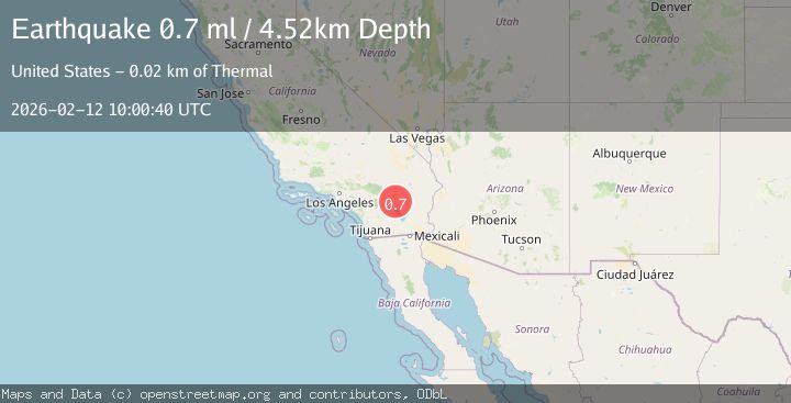
A 0.7 magnitude earthquake struck on 20 km NE of Coachella, CA, at Thu, 12 Feb 2026 10:00:40 GMT. Depth: 4.52km. Reviewed by USGS seismologists, this minor quake occurred at a magnitude type of ml.
Magnitude
0.7
ml
Source
USGS
Intensity
-
Agency Reports
1 Sources| Source | Magnitude | Depth | Time |
|---|---|---|---|
| USGSPrimary | 0.7 | 5 km | 6 days ago |
Earthquake Details
AutomaticEvent IDusgs_ci41396344
Tsunami PotentialNo
Magnitude Typeml
Nearest Places
- Snow Cloud Mine1.6 km
- Riverside County4.1 km
- Rockhouse Canyon6.1 km
- Yellow Spots Canyon8.1 km
- Front Hill Canyon8.4 km
Comments
Join the discussion about this event.
Latest Earthquakes
2.6Mag
Ceram Sea
Time41 minutes ago
Depth31.11 km
SourceBMKG
1.1Mag
Alaska Peninsula
Time42 minutes ago
Depth0.00 km
SourceVYT (Automatic)
2.0Mag
Kenai Peninsula, Alaska
Time43 minutes ago
Depth72.27 km
SourceVYT (Automatic)
2.0Mag
Central Alaska
Time47 minutes ago
Depth216.92 km
SourceVYT (Automatic)
1.8Mag
Region Metropolitana, Chile
Time51 minutes ago
Depth14.89 km
SourceVYT (Automatic)
Nearby Earthquakes
1.0Mag
20 km NE of Coachella, CA
Time1 week ago
Depth3.58 km
SourceUSGS (Automatic)
0.8Mag
20 km ENE of Coachella, CA
Time6 days ago
Depth3.70 km
SourceUSGS (Automatic)
1.2Mag
20 km ENE of Coachella, CA
Time6 days ago
Depth2.79 km
SourceUSGS (Automatic)
1.0Mag
20 km NE of Coachella, CA
Time6 days ago
Depth3.78 km
SourceUSGS (Automatic)
1.2Mag
20 km NE of Coachella, CA
Time1 week ago
Depth3.50 km
SourceUSGS (Automatic)