Earthquake 20 km ENE of Coachella, CA
Thu, 12 Feb 2026 17:39:33 GMT
Time6 days ago
Location
33.7787, -115.9930
Depth
3.7 KM
Event Summary
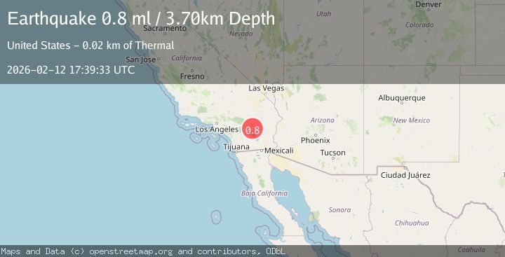
A 0.8 magnitude earthquake struck on 20 km ENE of Coachella, CA, at Thu, 12 Feb 2026 17:39:33 GMT. Depth: 3.7km. Reviewed by USGS seismologists, this minor quake occurred at a magnitude type of ml.
Magnitude
0.8
ml
Source
USGS
Intensity
-
Agency Reports
1 Sources| Source | Magnitude | Depth | Time |
|---|---|---|---|
| USGSPrimary | 0.8 | 4 km | 6 days ago |
Earthquake Details
AutomaticEvent IDusgs_ci41396488
Tsunami PotentialNo
Magnitude Typeml
Nearest Places
- Snow Cloud Mine1.3 km
- Riverside County3.9 km
- Rockhouse Canyon6.3 km
- Yellow Spots Canyon8.1 km
- Front Hill Canyon8.3 km
Comments
Join the discussion about this event.
Latest Earthquakes
1.3Mag
54 km WNW of Toyah, Texas
Time13 hours ago
Depth0.00 km
SourceUSGS (Automatic)
2.9Mag
Oruro, Bolivia
Time13 hours ago
Depth189.21 km
SourceVYT (Automatic)
3.4Mag
OFF COAST OF COSTA RICA
Time13 hours ago
Depth10.00 km
SourceINET (Automatic)
2.0Mag
Central Alaska
Time13 hours ago
Depth56.15 km
SourceVYT (Automatic)
2.6Mag
Antofagasta, Chile
Time13 hours ago
Depth0.00 km
SourceVYT (Automatic)
Nearby Earthquakes
0.7Mag
20 km NE of Coachella, CA
Time6 days ago
Depth4.52 km
SourceUSGS (Automatic)
1.2Mag
20 km ENE of Coachella, CA
Time6 days ago
Depth2.79 km
SourceUSGS (Automatic)
1.0Mag
20 km NE of Coachella, CA
Time1 week ago
Depth3.58 km
SourceUSGS (Automatic)
1.0Mag
20 km NE of Coachella, CA
Time6 days ago
Depth3.78 km
SourceUSGS (Automatic)
1.2Mag
20 km NE of Coachella, CA
Time1 week ago
Depth3.50 km
SourceUSGS (Automatic)