Earthquake 10 km W of Pine Valley, CA
Thu, 12 Feb 2026 15:48:37 GMT
Time1 week ago
Location
32.8292, -116.6318
Depth
13.0 KM
Event Summary
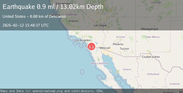
A 0.9 magnitude earthquake struck on 10 km W of Pine Valley, CA, at Thu, 12 Feb 2026 15:48:37 GMT. Depth: 13.02km. Reviewed by USGS seismologists, this minor quake occurred at a magnitude type of ml.
Magnitude
0.9
ml
Source
USGS
Intensity
-
Agency Reports
1 Sources| Source | Magnitude | Depth | Time |
|---|---|---|---|
| USGSPrimary | 0.9 | 13 km | 1 week ago |
Earthquake Details
AutomaticEvent IDusgs_ci41396448
Tsunami PotentialNo
Magnitude Typeml
Nearest Places
- Viejas Honor Camp0.8 km
- Ellis Ranch Cemetery1.0 km
- Los Terrenitos1.1 km
- Ellis Spring2.2 km
- Descanso Junction2.2 km
Comments
Join the discussion about this event.
Latest Earthquakes
0.8Mag
31 km E of Coso Junction, CA
Time4 minutes ago
Depth4.01 km
SourceUSGS (Automatic)
2.0Mag
Tarapaca, Chile
Time4 minutes ago
Depth130.49 km
SourceVYT (Automatic)
2.3Mag
Southern Alaska
Time11 minutes ago
Depth46.75 km
SourceVYT (Automatic)
2.9Mag
OFFSHORE GUATEMALA
Time11 minutes ago
Depth40.00 km
SourceINET (Automatic)
3.5Mag
Western Australia
Time11 minutes ago
Depth120.24 km
SourceVYT (Automatic)
Nearby Earthquakes
1.5Mag
10 km W of Pine Valley, CA
Time3 weeks ago
Depth16.27 km
SourceUSGS (Automatic)
1.3Mag
10 km W of Pine Valley, CA
Time3 weeks ago
Depth17.34 km
SourceUSGS (Automatic)
1.4Mag
10 km W of Pine Valley, CA
Time3 weeks ago
Depth17.36 km
SourceUSGS (Automatic)
1.3Mag
10 km W of Pine Valley, CA
Time3 weeks ago
Depth16.63 km
SourceUSGS (Automatic)
1.8Mag
10 km W of Pine Valley, CA
Time3 weeks ago
Depth17.24 km
SourceUSGS (Automatic)