Earthquake 3 km SW of Yorba Linda, CA
Thu, 12 Feb 2026 21:40:01 GMT
Time6 days ago
Location
33.8663, -117.8347
Depth
7.7 KM
Event Summary
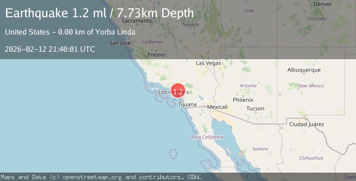
A 1.2 magnitude earthquake struck on 3 km SW of Yorba Linda, CA, at Thu, 12 Feb 2026 21:40:01 GMT. Depth: 7.73000001907349km. Reviewed by USGS seismologists, this minor quake occurred at a magnitude type of ml.
Magnitude
1.2
ml
Source
USGS
Intensity
-
Agency Reports
1 Sources| Source | Magnitude | Depth | Time |
|---|---|---|---|
| USGSPrimary | 1.2 | 8 km | 6 days ago |
Earthquake Details
AutomaticEvent IDusgs_ci41396672
Tsunami PotentialNo
Magnitude Typeml
Nearest Places
- Atwood0.4 km
- El Camino Real High School0.4 km
- Atwood Post Office0.5 km
- Del Cerro Mobile Home Estates0.7 km
- Parque de Los Ninos0.7 km
Comments
Join the discussion about this event.
Latest Earthquakes
3.7Mag
Tarapaca, Chile
Time11 hours ago
Depth0.00 km
SourceVYT (Automatic)
2.5Mag
Halmahera, Indonesia
Time11 hours ago
Depth99.98 km
SourceBMKG
0.6Mag
Southern Alaska
Time11 hours ago
Depth0.00 km
SourceVYT (Automatic)
2.3Mag
Antofagasta, Chile
Time11 hours ago
Depth123.90 km
SourceVYT (Automatic)
2.7Mag
Tarapaca, Chile
Time11 hours ago
Depth47.00 km
SourceVYT (Automatic)
Nearby Earthquakes
1.6Mag
1 km NNW of Placentia, CA
Time3 weeks ago
Depth12.59 km
SourceUSGS (Automatic)
1.2Mag
4 km ESE of Yorba Linda, CA
Time3 weeks ago
Depth10.06 km
SourceUSGS (Automatic)
1.3Mag
4 km ESE of Yorba Linda, CA
Time1 week ago
Depth9.78 km
SourceUSGS (Automatic)
3.0Mag
GREATER LOS ANGELES AREA, CALIF.
Time3 years ago
Depth7.00 km
SourceEMSC (Automatic)
3.0Mag
GREATER LOS ANGELES AREA, CALIF.
Time11 years ago
Depth4.00 km
SourceNEIR (Automatic)