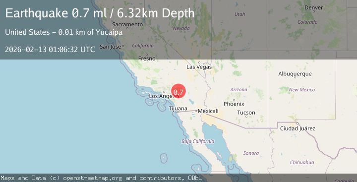
Earthquake 11 km NNE of Yucaipa, CA
Fri, 13 Feb 2026 01:06:32 GMT
Time6 days ago
Location
34.1183, -116.9757
Depth
6.3 KM
Event Summary
A 0.7 magnitude earthquake struck on 11 km NNE of Yucaipa, CA, at Fri, 13 Feb 2026 01:06:32 GMT. Depth: 6.32km. Reviewed by USGS seismologists, this minor quake occurred at a magnitude type of ml.
Magnitude
0.7
ml
Source
USGS
Intensity
-
Agency Reports
1 Sources| Source | Magnitude | Depth | Time |
|---|---|---|---|
| USGSPrimary | 0.7 | 6 km | 6 days ago |
Earthquake Details
AutomaticEvent IDusgs_ci41396816
Tsunami PotentialNo
Magnitude Typeml
Nearest Places
- Mountain Home Campground1.1 km
- East Fork Mountain Home Creek1.2 km
- Glen Martin Creek1.3 km
- Mountain Home Peak1.9 km
- Skinners Camp (historical)2.1 km
Comments
Join the discussion about this event.
Latest Earthquakes
1.8Mag
8 km SSW of Dayton, Nevada
Time6 minutes ago
Depth2.65 km
SourceUSGS (Automatic)
1.4Mag
6 km SSW of Idyllwild, CA
Time11 minutes ago
Depth15.02 km
SourceUSGS (Automatic)
2.4Mag
western Texas
Time12 minutes ago
Depth6.10 km
SourceVYT (Automatic)
2.8Mag
Southern Alaska
Time15 minutes ago
Depth14.04 km
SourceVYT (Automatic)
2.4Mag
Southern Alaska
Time17 minutes ago
Depth139.28 km
SourceVYT (Automatic)
Nearby Earthquakes
3.0Mag
SOUTHERN CALIFORNIA
Time3 months ago
Depth10.00 km
SourceNEIC (Automatic)
2.1Mag
SOUTHERN CALIFORNIA
Time1 month ago
Depth7.00 km
SourceSCSN (Automatic)
3.0Mag
SOUTHERN CALIFORNIA
Time6 years ago
Depth5.00 km
SourceNEIR (Automatic)
2.2Mag
Southern California
Time1 week ago
Depth16.97 km
SourceVYT (Automatic)
5.3Mag
GREATER LOS ANGELES AREA, CALIF.
Time20 years ago
Depth13.00 km
SourceNEIC (Automatic)