Earthquake 7 km NNE of Cabazon, CA
Fri, 13 Feb 2026 17:04:02 GMT
Time4 days ago
Location
33.9700, -116.7515
Depth
8.7 KM
Event Summary
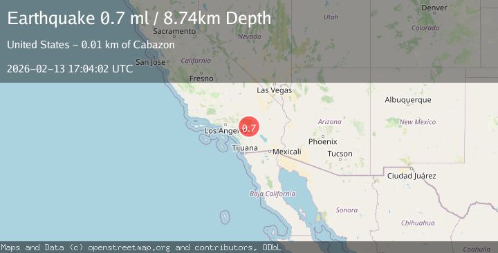
A 0.7 magnitude earthquake struck on 7 km NNE of Cabazon, CA, at Fri, 13 Feb 2026 17:04:02 GMT. Depth: 8.74km. Reviewed by USGS seismologists, this minor quake occurred at a magnitude type of ml.
Magnitude
0.7
ml
Source
USGS
Intensity
-
Agency Reports
1 Sources| Source | Magnitude | Depth | Time |
|---|---|---|---|
| USGSPrimary | 0.7 | 9 km | 4 days ago |
Earthquake Details
ConfirmedEvent IDusgs_ci41397232
Tsunami PotentialNo
Magnitude Typeml
Nearest Places
- Kitching Peak3.4 km
- East Branch Millard Canyon3.6 km
- Millard Canyon Guard Station3.7 km
- Lion Canyon4.1 km
- Deep Canyon4.1 km
Comments
Join the discussion about this event.
Latest Earthquakes
2.4Mag
Antofagasta, Chile
Time17 hours ago
Depth0.00 km
SourceVYT (Automatic)
2.0Mag
Southern Alaska
Time17 hours ago
Depth43.70 km
SourceVYT (Automatic)
3.4Mag
Alaska Peninsula
Time17 hours ago
Depth0.12 km
SourceVYT (Automatic)
2.4Mag
Central Alaska
Time17 hours ago
Depth176.64 km
SourceVYT (Automatic)
1.1Mag
13 km ENE of Cloverdale, CA
Time17 hours ago
Depth2.05 km
SourceUSGS (Automatic)
Nearby Earthquakes
1.1Mag
7 km NE of Cabazon, CA
Time5 days ago
Depth8.91 km
SourceUSGS (Automatic)
1.3Mag
Southern California
Time3 days ago
Depth11.96 km
SourceVYT (Automatic)
2.1Mag
SOUTHERN CALIFORNIA
Time1 month ago
Depth12.60 km
SourceSCSN (Automatic)
3.0Mag
SOUTHERN CALIFORNIA
Time6 months ago
Depth11.20 km
SourceSCSN (Automatic)
1.2Mag
10 km NNE of Cabazon, CA
Time2 weeks ago
Depth17.19 km
SourceUSGS (Automatic)