Earthquake Alaska Peninsula
Tue, 17 Feb 2026 16:06:13 GMT
Time17 hours ago
Location
54.5626, -160.8145
Depth
0.1 KM
Event Summary
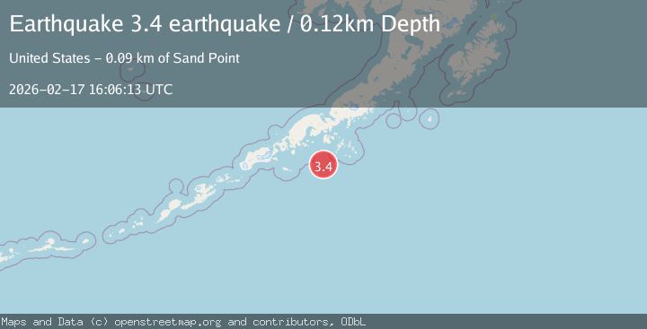
A 3.4 magnitude earthquake struck on Alaska Peninsula, at Tue, 17 Feb 2026 16:06:13 GMT. Depth: 0.1220703125km. Reviewed by VYT seismologists, this minor quake occurred at a magnitude type of earthquake.
Magnitude
3.4
earthquake
Source
VYT
Intensity
-
Agency Reports
1 Sources| Source | Magnitude | Depth | Time |
|---|---|---|---|
| VYTPrimary | 3.4 | 0 km | 17 hours ago |
Earthquake Details
AutomaticEvent IDvyt_34wrbm58ko18h
Tsunami PotentialNo
Magnitude Typeearthquake
Nearest Places
- Mountain Point50.8 km
- Dolgoi Cape57.6 km
- Saddlers Mistake57.9 km
- Sanak Bank59.9 km
- Sanak Bank59.9 km
Comments
Join the discussion about this event.
Latest Earthquakes
2.4Mag
Antofagasta, Chile
Time17 hours ago
Depth0.00 km
SourceVYT (Automatic)
2.0Mag
Southern Alaska
Time17 hours ago
Depth43.70 km
SourceVYT (Automatic)
2.4Mag
Central Alaska
Time17 hours ago
Depth176.64 km
SourceVYT (Automatic)
1.1Mag
13 km ENE of Cloverdale, CA
Time17 hours ago
Depth2.05 km
SourceUSGS (Automatic)
2.1Mag
Halmahera, Indonesia
Time17 hours ago
Depth4.38 km
SourceBMKG
Nearby Earthquakes
5.1Mag
ALASKA PENINSULA
Time9 years ago
Depth37.00 km
SourceEMSC (Automatic)
3.0Mag
ALASKA PENINSULA
Time2 years ago
Depth10.50 km
SourceAK (Automatic)
5.6Mag
ALASKA PENINSULA
Time7 years ago
Depth40.00 km
SourceEMSC (Automatic)
3.0Mag
ALASKA PENINSULA
Time7 months ago
Depth3.20 km
SourceAK (Automatic)
3.0Mag
ALASKA PENINSULA
Time2 years ago
Depth10.00 km
SourceAK (Automatic)