Earthquake 6 km WSW of Anza, CA
Fri, 13 Feb 2026 18:09:46 GMT
Time4 days ago
Location
33.5318, -116.7275
Depth
3.7 KM
Event Summary
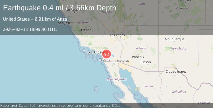
A 0.4 magnitude earthquake struck on 6 km WSW of Anza, CA, at Fri, 13 Feb 2026 18:09:46 GMT. Depth: 3.66km. Reviewed by USGS seismologists, this minor quake occurred at a magnitude type of ml.
Magnitude
0.4
ml
Source
USGS
Intensity
-
Agency Reports
1 Sources| Source | Magnitude | Depth | Time |
|---|---|---|---|
| USGSPrimary | 0.4 | 4 km | 4 days ago |
Earthquake Details
AutomaticEvent IDusgs_ci41397304
Tsunami PotentialNo
Magnitude Typeml
Nearest Places
- Durasno Valley1.4 km
- Cahuilla1.8 km
- Cahuilla Reservation1.9 km
- Cave Rocks3.7 km
- Elder Canyon4.6 km
Comments
Join the discussion about this event.
Latest Earthquakes
2.4Mag
Finland
Time2 minutes ago
Depth301.88 km
SourceVYT (Automatic)
1.2Mag
Alaska Peninsula
Time2 minutes ago
Depth0.12 km
SourceVYT (Automatic)
3.1Mag
DODECANESE IS.-TURKEY BORDER REG
Time8 minutes ago
Depth4.10 km
SourceKOERI (Automatic)
2.6Mag
NEAR COAST OF NICARAGUA
Time13 minutes ago
Depth38.00 km
SourceINET (Automatic)
1.4Mag
Central Alaska
Time16 minutes ago
Depth110.35 km
SourceVYT (Automatic)
Nearby Earthquakes
0.6Mag
6 km WSW of Anza, CA
Time5 days ago
Depth3.81 km
SourceUSGS (Automatic)
0.4Mag
5 km WSW of Anza, CA
Time1 week ago
Depth5.98 km
SourceUSGS (Automatic)
1.1Mag
6 km WSW of Anza, CA
Time3 weeks ago
Depth6.26 km
SourceUSGS (Automatic)
1.0Mag
5 km WSW of Anza, CA
Time1 day ago
Depth7.10 km
SourceUSGS (Automatic)
1.9Mag
5 km WSW of Anza, CA
Time3 weeks ago
Depth7.14 km
SourceUSGS (Automatic)