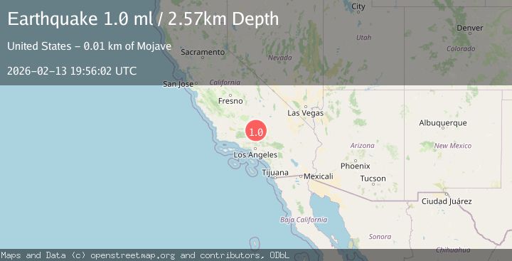
Earthquake 8 km SSW of Mojave, CA
Fri, 13 Feb 2026 19:56:02 GMT
Time1 week ago
Location
34.9805, -118.2027
Depth
2.6 KM
Event Summary
A 1.0 magnitude earthquake struck on 8 km SSW of Mojave, CA, at Fri, 13 Feb 2026 19:56:02 GMT. Depth: 2.5699999332428km. Reviewed by USGS seismologists, this minor quake occurred at a magnitude type of ml.
Magnitude
1.0
ml
Source
USGS
Intensity
-
Agency Reports
1 Sources| Source | Magnitude | Depth | Time |
|---|---|---|---|
| USGSPrimary | 1.0 | 3 km | 1 week ago |
Earthquake Details
AutomaticEvent IDusgs_ci41397384
Tsunami PotentialNo
Magnitude Typeml
Nearest Places
- 0.7 km
- 1.0 km
- 1.3 km
- 1.4 km
- 1.9 km
Comments
Join the discussion about this event.
Latest Earthquakes
1.6Mag
Finland
Time4 minutes ago
Depth28.44 km
SourceVYT (Automatic)
3.9Mag
Minahasa, Sulawesi, Indonesia
Time6 minutes ago
Depth0.00 km
SourceVYT (Automatic)
2.7Mag
NORTHERN CALIFORNIA
Time12 minutes ago
Depth0.80 km
SourceNC (Automatic)
2.9Mag
Tarapaca, Chile
Time20 minutes ago
Depth94.24 km
SourceVYT (Automatic)
2.3Mag
Poland
Time22 minutes ago
Depth5.37 km
SourceVYT (Automatic)
Nearby Earthquakes
1.2Mag
8 km SSW of Mojave, CA
Time3 weeks ago
Depth1.66 km
SourceUSGS (Automatic)
1.3Mag
8 km SSW of Mojave, CA
Time6 hours ago
Depth0.36 km
SourceUSGS (Automatic)
1.0Mag
8 km SSW of Mojave, CA
Time2 weeks ago
Depth-0.91 km
SourceUSGS
1.2Mag
7 km S of Mojave, CA
Time1 month ago
Depth-0.84 km
SourceUSGS (Automatic)
2.1Mag
SOUTHERN CALIFORNIA
Time2 weeks ago
Depth0.60 km
SourceSCSN (Automatic)