Earthquake 18 km E of Ridgecrest, CA
Fri, 13 Feb 2026 21:13:16 GMT
Time1 week ago
Location
35.6152, -117.4788
Depth
6.5 KM
Event Summary
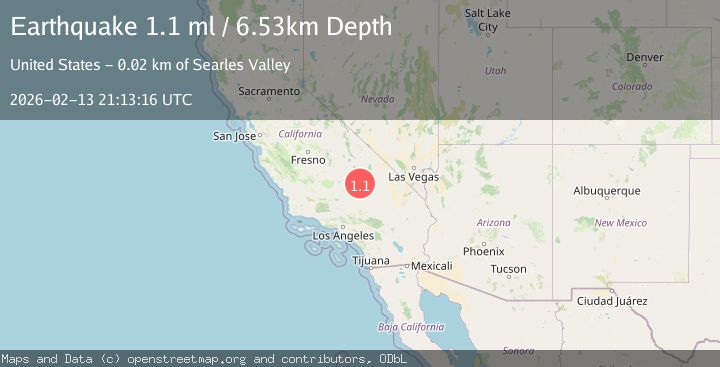
A 1.1 magnitude earthquake struck on 18 km E of Ridgecrest, CA, at Fri, 13 Feb 2026 21:13:16 GMT. Depth: 6.53000020980835km. Reviewed by USGS seismologists, this minor quake occurred at a magnitude type of ml.
Magnitude
1.1
ml
Source
USGS
Intensity
-
Agency Reports
1 Sources| Source | Magnitude | Depth | Time |
|---|---|---|---|
| USGSPrimary | 1.1 | 7 km | 1 week ago |
Earthquake Details
AutomaticEvent IDusgs_ci41397464
Tsunami PotentialNo
Magnitude Typeml
Nearest Places
- 3.9 km
- 5.5 km
- 6.4 km
- 6.5 km
- 7.0 km
Comments
Join the discussion about this event.
Latest Earthquakes
1.1Mag
6 km WNW of The Geysers, CA
Time3 minutes ago
Depth2.84 km
SourceUSGS (Automatic)
1.5Mag
6 km WNW of Cobb, CA
Time6 minutes ago
Depth1.73 km
SourceUSGS (Automatic)
1.7Mag
Kenai Peninsula, Alaska
Time9 minutes ago
Depth35.40 km
SourceVYT (Automatic)
0.8Mag
5 km W of Cobb, CA
Time9 minutes ago
Depth1.09 km
SourceUSGS (Automatic)
2.2Mag
near the coast of Tarapaca, Chile
Time10 minutes ago
Depth26.61 km
SourceVYT (Automatic)
Nearby Earthquakes
3.0Mag
SOUTHERN CALIFORNIA
Time1 year ago
Depth6.80 km
SourceSCSN (Automatic)
2.3Mag
SOUTHERN CALIFORNIA
Time1 month ago
Depth8.90 km
SourceSCSN (Automatic)
1.6Mag
17 km E of Ridgecrest, CA
Time1 week ago
Depth5.79 km
SourceUSGS (Automatic)
3.0Mag
SOUTHERN CALIFORNIA
Time2 years ago
Depth10.00 km
SourceNEIC (Automatic)
3.0Mag
SOUTHERN CALIFORNIA
Time6 years ago
Depth12.00 km
SourceNEIC (Automatic)