Earthquake 17 km E of Ridgecrest, CA
Sun, 08 Feb 2026 15:32:02 GMT
Time1 hour ago
Location
35.5980, -117.4880
Depth
5.8 KM
Event Summary
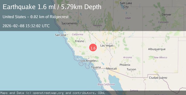
A 1.6 magnitude earthquake struck on 17 km E of Ridgecrest, CA, at Sun, 08 Feb 2026 15:32:02 GMT. Depth: 5.78999996185303km. Reviewed by USGS seismologists, this minor quake occurred at a magnitude type of ml.
Magnitude
1.6
ml
Source
USGS
Intensity
-
Agency Reports
1 Sources| Source | Magnitude | Depth | Time |
|---|---|---|---|
| USGSPrimary | 1.6 | 6 km | 1 hour ago |
Earthquake Details
AutomaticEvent IDusgs_ci41393944
Tsunami PotentialNo
Magnitude Typeml
Nearest Places
- Spangler Hills4.3 km
- Saint Elmo Mines4.5 km
- The Y5.9 km
- Stephens Holding Mines6.3 km
- Spangler6.4 km
Comments
Join the discussion about this event.
Latest Earthquakes
4.2Mag
Southern Molucca Sea
Time1 hour ago
Depth70.38 km
SourceBMKG (Automatic)
2.5Mag
JAVA, INDONESIA
Time1 hour ago
Depth19.00 km
SourceBMKG (Automatic)
2.7Mag
SICILY, ITALY
Time1 hour ago
Depth121.50 km
SourceINGV (Automatic)
3.3Mag
ANTOFAGASTA, CHILE
Time1 hour ago
Depth125.60 km
SourceCSN (Automatic)
2.0Mag
Sumba Region, Indonesia
Time1 hour ago
Depth14.65 km
SourceBMKG (Automatic)
Nearby Earthquakes
1.0Mag
14 km SW of Searles Valley, CA
Time6 days ago
Depth4.19 km
SourceUSGS (Automatic)
1.4Mag
15 km ENE of Ridgecrest, CA
Time1 week ago
Depth7.69 km
SourceUSGS (Automatic)
1.5Mag
10 km E of Ridgecrest, CA
Time2 days ago
Depth0.85 km
SourceUSGS (Automatic)
1.1Mag
12 km ENE of Ridgecrest, CA
Time2 weeks ago
Depth6.28 km
SourceUSGS (Automatic)
1.2Mag
14 km SW of Searles Valley, CA
Time1 week ago
Depth4.54 km
SourceUSGS (Automatic)