Earthquake 2 km NNE of Loma Linda, CA
Sun, 15 Feb 2026 02:06:54 GMT
Time5 days ago
Location
34.0620, -117.2530
Depth
15.2 KM
Event Summary
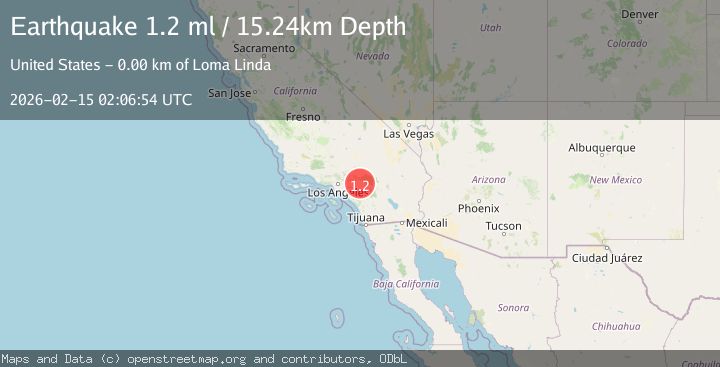
A 1.2 magnitude earthquake struck on 2 km NNE of Loma Linda, CA, at Sun, 15 Feb 2026 02:06:54 GMT. Depth: 15.2399997711182km. Reviewed by USGS seismologists, this minor quake occurred at a magnitude type of ml.
Magnitude
1.2
ml
Source
USGS
Intensity
-
Agency Reports
1 Sources| Source | Magnitude | Depth | Time |
|---|---|---|---|
| USGSPrimary | 1.2 | 15 km | 5 days ago |
Earthquake Details
AutomaticEvent IDusgs_ci41398264
Tsunami PotentialNo
Magnitude Typeml
Nearest Places
- Interchange 740.8 km
- Loma Linda Academy0.8 km
- Union Academy0.8 km
- Taylor Junior Academy0.8 km
- Saint Joseph the Worker Catholic Church0.9 km
Comments
Join the discussion about this event.
Latest Earthquakes
2.6Mag
Tarapaca, Chile
Time2 minutes ago
Depth95.70 km
SourceVYT (Automatic)
2.3Mag
Minahassa Peninsula, Sulawesi
Time3 minutes ago
Depth10.65 km
SourceBMKG
3.4Mag
Sulawesi, Indonesia
Time4 minutes ago
Depth45.17 km
SourceVYT (Automatic)
4.2Mag
central Mediterranean Sea
Time6 minutes ago
Depth125.37 km
SourceVYT (Automatic)
1.5Mag
Southeastern Alaska
Time9 minutes ago
Depth3.91 km
SourceVYT (Automatic)
Nearby Earthquakes
1.2Mag
2 km N of Loma Linda, CA
Time2 hours ago
Depth11.22 km
SourceUSGS (Automatic)
3.0Mag
GREATER LOS ANGELES AREA, CALIF.
Time9 years ago
Depth17.00 km
SourceNEIR (Automatic)
1.3Mag
1 km E of Loma Linda, CA
Time2 weeks ago
Depth16.54 km
SourceUSGS (Automatic)
1.6Mag
0 km SW of Loma Linda, CA
Time3 weeks ago
Depth15.13 km
SourceUSGS (Automatic)
1.5Mag
1 km SW of Loma Linda, CA
Time2 weeks ago
Depth16.17 km
SourceUSGS (Automatic)