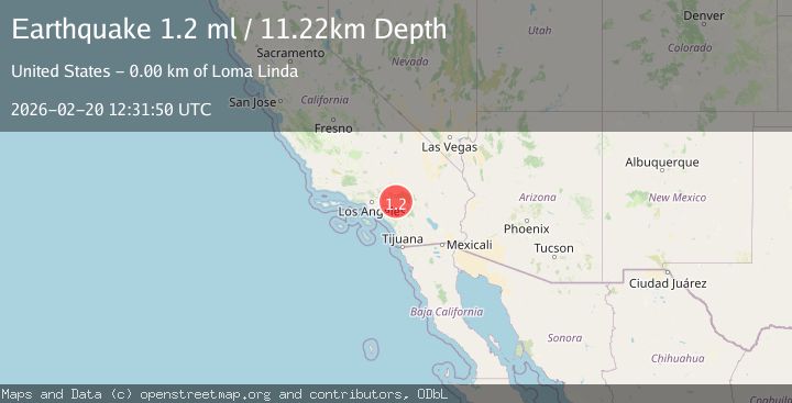
Earthquake 2 km N of Loma Linda, CA
Fri, 20 Feb 2026 12:31:50 GMT
Time1 hour ago
Location
34.0693, -117.2620
Depth
11.2 KM
Event Summary
A 1.2 magnitude earthquake struck on 2 km N of Loma Linda, CA, at Fri, 20 Feb 2026 12:31:50 GMT. Depth: 11.2200002670288km. Reviewed by USGS seismologists, this minor quake occurred at a magnitude type of ml.
Magnitude
1.2
ml
Source
USGS
Intensity
-
Agency Reports
1 Sources| Source | Magnitude | Depth | Time |
|---|---|---|---|
| USGSPrimary | 1.2 | 11 km | 1 hour ago |
Earthquake Details
AutomaticEvent IDusgs_ci41400376
Tsunami PotentialNo
Magnitude Typeml
Nearest Places
Comments
Join the discussion about this event.
Latest Earthquakes
2.3Mag
Halmahera, Indonesia
Time57 minutes ago
Depth1.63 km
SourceBMKG
2.0Mag
Central Alaska
Time59 minutes ago
Depth16.60 km
SourceVYT (Automatic)
2.6Mag
Sumba region, Indonesia
Time1 hour ago
Depth0.00 km
SourceVYT (Automatic)
2.9Mag
Java, Indonesia
Time1 hour ago
Depth130.82 km
SourceBMKG
2.6Mag
Flores Sea
Time1 hour ago
Depth261.15 km
SourceBMKG
Nearby Earthquakes
1.2Mag
2 km NNE of Loma Linda, CA
Time5 days ago
Depth15.24 km
SourceUSGS (Automatic)
0.7Mag
3 km NW of Loma Linda, CA
Time2 weeks ago
Depth3.98 km
SourceUSGS (Automatic)
3.0Mag
GREATER LOS ANGELES AREA, CALIF.
Time9 years ago
Depth17.00 km
SourceNEIR (Automatic)
1.6Mag
0 km SW of Loma Linda, CA
Time3 weeks ago
Depth15.13 km
SourceUSGS (Automatic)
1.3Mag
1 km E of Loma Linda, CA
Time2 weeks ago
Depth16.54 km
SourceUSGS (Automatic)