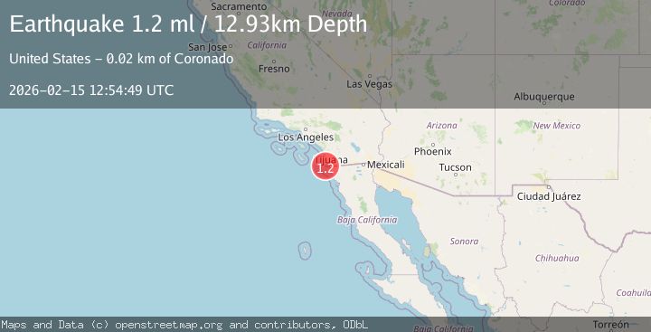
Earthquake 17 km WSW of Imperial Beach, CA
Sun, 15 Feb 2026 12:54:49 GMT
Time1 week ago
Location
32.5547, -117.2862
Depth
12.9 KM
Event Summary
A 1.2 magnitude earthquake struck on 17 km WSW of Imperial Beach, CA, at Sun, 15 Feb 2026 12:54:49 GMT. Depth: 12.9300003051758km. Reviewed by USGS seismologists, this minor quake occurred at a magnitude type of ml.
Magnitude
1.2
ml
Source
USGS
Intensity
-
Agency Reports
1 Sources| Source | Magnitude | Depth | Time |
|---|---|---|---|
| USGSPrimary | 1.2 | 13 km | 1 week ago |
Earthquake Details
AutomaticEvent IDusgs_ci41398528
Tsunami PotentialNo
Magnitude Typeml
Nearest Places
- 8.4 km
- 9.7 km
- 10.3 km
- 11.1 km
- 12.2 km
Comments
Join the discussion about this event.
Latest Earthquakes
1.3Mag
Alaska Peninsula
Time2 minutes ago
Depth0.00 km
SourceVYT (Automatic)
3.2Mag
Celebes Sea
Time8 minutes ago
Depth348.75 km
SourceVYT (Automatic)
2.6Mag
Czech Republic
Time12 minutes ago
Depth1.59 km
SourceVYT (Automatic)
1.5Mag
11 km W of Templeton, CA
Time13 minutes ago
Depth4.96 km
SourceUSGS (Automatic)
0.9Mag
85 km NNW of Karluk, Alaska
Time13 minutes ago
Depth5.00 km
SourceUSGS (Automatic)
Nearby Earthquakes
0.9Mag
6 km WNW of Imperial Beach, CA
Time3 weeks ago
Depth10.29 km
SourceUSGS (Automatic)
1.0Mag
7 km ESE of Chula Vista, CA
Time2 hours ago
Depth10.03 km
SourceUSGS (Automatic)
1.4Mag
8 km ESE of Chula Vista, CA
Time0 months ago
Depth3.08 km
SourceUSGS (Automatic)
3.0Mag
CHANNEL ISLANDS REG., CALIFORNIA
Time1 year ago
Depth15.80 km
SourceSCSN (Automatic)
1.3Mag
6 km NNW of Lakeside, CA
Time2 days ago
Depth3.07 km
SourceUSGS (Automatic)