Earthquake 11 km W of Templeton, CA
Thu, 26 Feb 2026 22:47:11 GMT
Time1 hour ago
Location
35.5672, -120.8210
Depth
5.0 KM
Event Summary
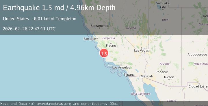
A 1.5 magnitude earthquake struck on 11 km W of Templeton, CA, at Thu, 26 Feb 2026 22:47:11 GMT. Depth: 4.96000003814697km. Reviewed by USGS seismologists, this minor quake occurred at a magnitude type of md.
Magnitude
1.5
md
Source
USGS
Intensity
-
Agency Reports
1 Sources| Source | Magnitude | Depth | Time |
|---|---|---|---|
| USGSPrimary | 1.5 | 5 km | 1 hour ago |
Earthquake Details
AutomaticEvent IDusgs_nc75319452
Tsunami PotentialNo
Magnitude Typemd
Nearest Places
- 1.7 km
- 2.3 km
- 2.3 km
- 2.4 km
- 2.6 km
Comments
Join the discussion about this event.
Latest Earthquakes
1.9Mag
Region Metropolitana, Chile
Time56 minutes ago
Depth0.00 km
SourceVYT (Automatic)
2.6Mag
Region Metropolitana, Chile
Time59 minutes ago
Depth17.46 km
SourceVYT (Automatic)
1.5Mag
4 km SSW of Amboy, Washington
Time1 hour ago
Depth-0.78 km
SourceUSGS
2.5Mag
Potosi, Bolivia
Time1 hour ago
Depth115.97 km
SourceVYT (Automatic)
2.8Mag
Kepulauan Tanimbar, Indonesia
Time1 hour ago
Depth652.71 km
SourceVYT (Automatic)
Nearby Earthquakes
3.0Mag
CENTRAL CALIFORNIA
Time6 years ago
Depth5.00 km
SourceNC (Automatic)
2.7Mag
CENTRAL CALIFORNIA
Time2 months ago
Depth5.00 km
SourceNEIC (Automatic)
2.0Mag
CENTRAL CALIFORNIA
Time1 month ago
Depth6.70 km
SourceNC (Automatic)
1.2Mag
5 km WNW of Templeton, CA
Time6 hours ago
Depth5.44 km
SourceUSGS (Automatic)
1.4Mag
2 km E of Cayucos, CA
Time6 days ago
Depth1.56 km
SourceUSGS (Automatic)