Earthquake 9 km SW of Progreso, B.C., MX
Mon, 16 Feb 2026 04:10:25 GMT
Time3 days ago
Location
32.5172, -115.6523
Depth
3.8 KM
Event Summary
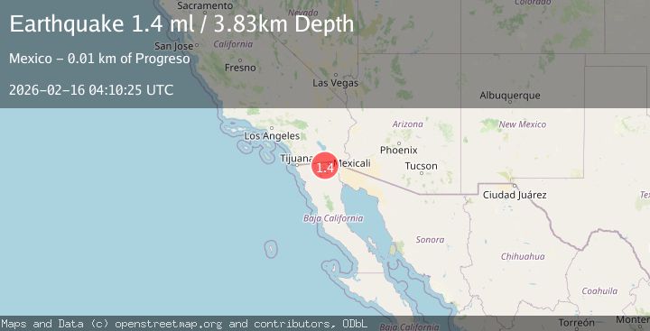
A 1.4 magnitude earthquake struck on 9 km SW of Progreso, B.C., MX, at Mon, 16 Feb 2026 04:10:25 GMT. Depth: 3.83km. Reviewed by USGS seismologists, this minor quake occurred at a magnitude type of ml.
Magnitude
1.4
ml
Source
USGS
Intensity
-
Agency Reports
1 Sources| Source | Magnitude | Depth | Time |
|---|---|---|---|
| USGSPrimary | 1.4 | 4 km | 3 days ago |
Earthquake Details
AutomaticEvent IDusgs_ci41398880
Tsunami PotentialNo
Magnitude Typeml
Nearest Places
- Cerro Grande1.3 km
- Cordón5.2 km
- Cerro Manchado5.8 km
- Canal Uno6.3 km
- Cerro Boludo6.4 km
Comments
Join the discussion about this event.
Latest Earthquakes
2.4Mag
West Papua Region, Indonesia
Time11 minutes ago
Depth10.00 km
SourceBMKG
3.3Mag
Talaud Islands, Indonesia
Time11 minutes ago
Depth10.00 km
SourceBMKG
1.1Mag
4 km NW of The Geysers, CA
Time12 minutes ago
Depth3.39 km
SourceUSGS (Automatic)
1.0Mag
33 km WSW of Ackerly, Texas
Time12 minutes ago
Depth4.44 km
SourceUSGS (Automatic)
2.8Mag
Antofagasta, Chile
Time16 minutes ago
Depth0.00 km
SourceVYT (Automatic)
Nearby Earthquakes
3.0Mag
BAJA CALIFORNIA, MEXICO
Time9 years ago
Depth5.00 km
SourceNEIR (Automatic)
1.4Mag
9 km WSW of Progreso, B.C., MX
Time1 week ago
Depth6.57 km
SourceUSGS (Automatic)
2.1Mag
California-Baja California border region
Time1 week ago
Depth19.53 km
SourceVYT (Automatic)
3.0Mag
BAJA CALIFORNIA, MEXICO
Time11 years ago
Depth9.00 km
SourceNEIR (Automatic)
2.0Mag
15 km WNW of Progreso, B.C., MX
Time1 week ago
Depth7.53 km
SourceUSGS (Automatic)