Earthquake 13 km E of Anza, CA
Sat, 21 Feb 2026 06:52:46 GMT
Time1 hour ago
Location
33.5432, -116.5388
Depth
16.8 KM
Event Summary
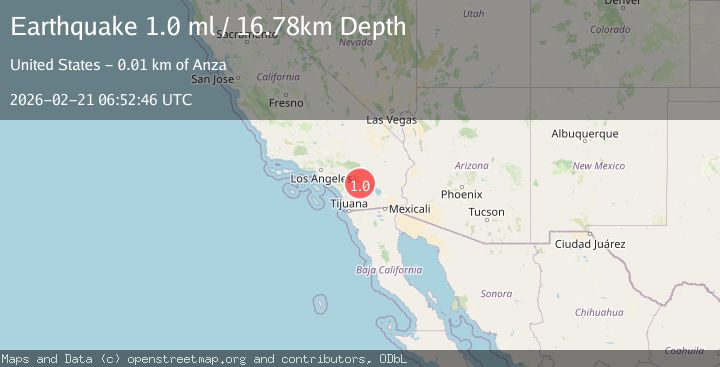
A 1.0 magnitude earthquake struck on 13 km E of Anza, CA, at Sat, 21 Feb 2026 06:52:46 GMT. Depth: 16.7800006866455km. Reviewed by USGS seismologists, this minor quake occurred at a magnitude type of ml.
Magnitude
1.0
ml
Source
USGS
Intensity
-
Agency Reports
1 Sources| Source | Magnitude | Depth | Time |
|---|---|---|---|
| USGSPrimary | 1.0 | 17 km | 1 hour ago |
Earthquake Details
AutomaticEvent IDusgs_ci41400952
Tsunami PotentialNo
Magnitude Typeml
Nearest Places
- 0.7 km
- 0.9 km
- 1.3 km
- 1.7 km
- 2.4 km
Comments
Join the discussion about this event.
Latest Earthquakes
2.4Mag
Fox Islands, Aleutian Islands, Alaska
Time1 hour ago
Depth17.70 km
SourceVYT (Automatic)
1.1Mag
1 km NNW of The Geysers, CA
Time1 hour ago
Depth2.02 km
SourceUSGS (Automatic)
1.2Mag
6 km S of Carpinteria, CA
Time1 hour ago
Depth9.91 km
SourceUSGS (Automatic)
3.1Mag
northern Colombia
Time1 hour ago
Depth187.62 km
SourceVYT (Automatic)
2.7Mag
Sumbawa region, Indonesia
Time1 hour ago
Depth0.00 km
SourceVYT (Automatic)
Nearby Earthquakes
1.0Mag
12 km ESE of Anza, CA
Time1 day ago
Depth18.49 km
SourceUSGS (Automatic)
0.8Mag
13 km ESE of Anza, CA
Time1 week ago
Depth13.15 km
SourceUSGS (Automatic)
2.1Mag
SOUTHERN CALIFORNIA
Time1 month ago
Depth12.40 km
SourceSCSN (Automatic)
3.0Mag
SOUTHERN CALIFORNIA
Time5 years ago
Depth17.00 km
SourceNEIC (Automatic)
1.9Mag
16 km ESE of Anza, CA
Time3 weeks ago
Depth13.37 km
SourceUSGS (Automatic)