Earthquake 9 km WNW of Calipatria, CA
Sun, 22 Feb 2026 07:50:24 GMT
Time1 hour ago
Location
33.1665, -115.6035
Depth
2.7 KM
Event Summary
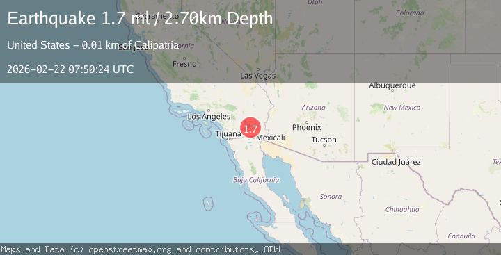
A 1.7 magnitude earthquake struck on 9 km WNW of Calipatria, CA, at Sun, 22 Feb 2026 07:50:24 GMT. Depth: 2.70000004768372km. Reviewed by USGS seismologists, this minor quake occurred at a magnitude type of ml.
Magnitude
1.7
ml
Source
USGS
Intensity
-
Agency Reports
1 Sources| Source | Magnitude | Depth | Time |
|---|---|---|---|
| USGSPrimary | 1.7 | 3 km | 1 hour ago |
Earthquake Details
AutomaticEvent IDusgs_ci41401480
Tsunami PotentialNo
Magnitude Typeml
Nearest Places
- 1.1 km
- 1.2 km
- 1.3 km
- 1.3 km
- 1.7 km
Comments
Join the discussion about this event.
Latest Earthquakes
1.5Mag
northern Alaska
Time53 minutes ago
Depth0.00 km
SourceVYT (Automatic)
3.0Mag
southern Sumatra, Indonesia
Time55 minutes ago
Depth0.00 km
SourceVYT (Automatic)
3.5Mag
Alaska Peninsula
Time57 minutes ago
Depth33.94 km
SourceVYT (Automatic)
4.0Mag
OFFSHORE GUATEMALA
Time1 hour ago
Depth30.00 km
SourceINET (Automatic)
2.5Mag
Antofagasta, Chile
Time1 hour ago
Depth129.76 km
SourceVYT (Automatic)
Nearby Earthquakes
3.0Mag
SOUTHERN CALIFORNIA
Time5 years ago
Depth10.00 km
SourceNEIC (Automatic)
2.9Mag
Southern California
Time5 days ago
Depth26.86 km
SourceVYT (Automatic)
1.1Mag
11 km WNW of Calipatria, CA
Time2 weeks ago
Depth5.08 km
SourceUSGS (Automatic)
3.0Mag
SOUTHERN CALIFORNIA
Time9 years ago
Depth2.00 km
SourceNEIR (Automatic)
3.0Mag
SOUTHERN CALIFORNIA
Time1 year ago
Depth7.50 km
SourceSCSN (Automatic)