Earthquake 7 km WSW of Niland, CA
Mon, 23 Feb 2026 16:21:52 GMT
Time2 hours ago
Location
33.2185, -115.5872
Depth
3.7 KM
Event Summary
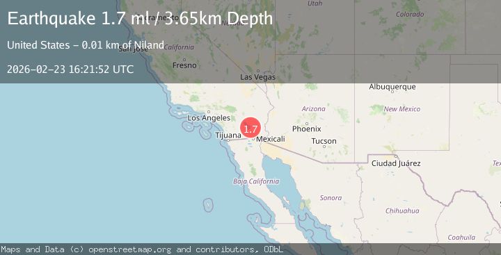
A 1.7 magnitude earthquake struck on 7 km WSW of Niland, CA, at Mon, 23 Feb 2026 16:21:52 GMT. Depth: 3.65000009536743km. Reviewed by USGS seismologists, this minor quake occurred at a magnitude type of ml.
Magnitude
1.7
ml
Source
USGS
Intensity
-
Agency Reports
1 Sources| Source | Magnitude | Depth | Time |
|---|---|---|---|
| USGSPrimary | 1.7 | 4 km | 2 hours ago |
Earthquake Details
AutomaticEvent IDusgs_ci41402040
Tsunami PotentialNo
Magnitude Typeml
Nearest Places
- 2.1 km
- 2.3 km
- 3.1 km
- 3.1 km
- 3.1 km
Comments
Join the discussion about this event.
Latest Earthquakes
1.9Mag
Tarapaca, Chile
Time2 hours ago
Depth18.92 km
SourceVYT (Automatic)
2.9Mag
Fox Islands, Aleutian Islands, Alaska
Time2 hours ago
Depth0.00 km
SourceVYT (Automatic)
0.8Mag
Southern Alaska
Time2 hours ago
Depth0.00 km
SourceVYT (Automatic)
3.5Mag
San Juan, Argentina
Time2 hours ago
Depth187.38 km
SourceVYT (Automatic)
3.5Mag
Fox Islands, Aleutian Islands, Alaska
Time2 hours ago
Depth0.12 km
SourceVYT (Automatic)
Nearby Earthquakes
3.0Mag
SOUTHERN CALIFORNIA
Time2 years ago
Depth10.00 km
SourceNEIC (Automatic)
4.0Mag
SOUTHERN CALIFORNIA
Time5 years ago
Depth10.00 km
SourceNEIC (Automatic)
1.7Mag
Southern California
Time1 day ago
Depth35.28 km
SourceVYT (Automatic)
3.0Mag
SOUTHERN CALIFORNIA
Time2 years ago
Depth10.00 km
SourceNEIC (Automatic)
3.0Mag
SOUTHERN CALIFORNIA
Time2 years ago
Depth3.00 km
SourceNEIR (Automatic)