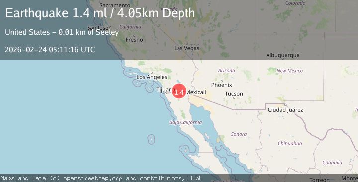
Earthquake 17 km E of Ocotillo, CA
Tue, 24 Feb 2026 05:11:16 GMT
Time3 hours ago
Location
32.7210, -115.8118
Depth
4.1 KM
Event Summary
A 1.4 magnitude earthquake struck on 17 km E of Ocotillo, CA, at Tue, 24 Feb 2026 05:11:16 GMT. Depth: 4.05000019073486km. Reviewed by USGS seismologists, this minor quake occurred at a magnitude type of ml.
Magnitude
1.4
ml
Source
USGS
Intensity
-
Agency Reports
1 Sources| Source | Magnitude | Depth | Time |
|---|---|---|---|
| USGSPrimary | 1.4 | 4 km | 3 hours ago |
Earthquake Details
AutomaticEvent IDusgs_ci41402456
Tsunami PotentialNo
Magnitude Typeml
Nearest Places
- 1.7 km
- 2.8 km
- 3.2 km
- 4.0 km
- 5.9 km
Comments
Join the discussion about this event.
Latest Earthquakes
1.8Mag
western Texas
Time3 hours ago
Depth4.52 km
SourceVYT (Automatic)
0.8Mag
14 km W of Toms Place, CA
Time3 hours ago
Depth5.50 km
SourceUSGS (Automatic)
2.0Mag
Antofagasta, Chile
Time3 hours ago
Depth106.69 km
SourceVYT (Automatic)
2.8Mag
CENTRAL TURKEY
Time3 hours ago
Depth2.10 km
SourceKOERI (Automatic)
2.4Mag
western Texas
Time3 hours ago
Depth10.74 km
SourceVYT (Automatic)
Nearby Earthquakes
2.5Mag
SOUTHERN CALIFORNIA
Time1 month ago
Depth10.00 km
SourceNEIC (Automatic)
1.8Mag
California-Baja California border region
Time1 week ago
Depth8.91 km
SourceVYT (Automatic)
3.0Mag
SOUTHERN CALIFORNIA
Time9 years ago
Depth10.00 km
SourceNEIC (Automatic)
3.0Mag
SOUTHERN CALIFORNIA
Time2 years ago
Depth13.20 km
SourceNEIC (Automatic)
3.0Mag
SOUTHERN CALIFORNIA
Time7 years ago
Depth10.00 km
SourceNEIC (Automatic)