Earthquake 17 km W of Searles Valley, CA
Thu, 26 Feb 2026 07:31:02 GMT
Time19 hours ago
Location
35.7685, -117.5937
Depth
5.2 KM
Event Summary
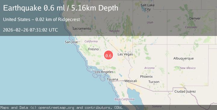
A 0.6 magnitude earthquake struck on 17 km W of Searles Valley, CA, at Thu, 26 Feb 2026 07:31:02 GMT. Depth: 5.16km. Reviewed by USGS seismologists, this minor quake occurred at a magnitude type of ml.
Magnitude
0.6
ml
Source
USGS
Intensity
-
Agency Reports
1 Sources| Source | Magnitude | Depth | Time |
|---|---|---|---|
| USGSPrimary | 0.6 | 5 km | 19 hours ago |
Earthquake Details
AutomaticEvent IDusgs_ci41404128
Tsunami PotentialNo
Magnitude Typeml
Nearest Places
- 3.7 km
- 4.2 km
- 4.5 km
- 5.3 km
- 6.2 km
Comments
Join the discussion about this event.
Latest Earthquakes
2.3Mag
Southern Alaska
Time19 hours ago
Depth37.96 km
SourceVYT
2.7Mag
Sulawesi, Indonesia
Time19 hours ago
Depth12.21 km
SourceVYT (Automatic)
2.6Mag
Alaska Peninsula
Time19 hours ago
Depth0.12 km
SourceVYT (Automatic)
0.9Mag
14 km NE of Ridgecrest, CA
Time19 hours ago
Depth4.30 km
SourceUSGS (Automatic)
3.1Mag
Antofagasta, Chile
Time19 hours ago
Depth130.25 km
SourceVYT (Automatic)
Nearby Earthquakes
0.7Mag
17 km W of Searles Valley, CA
Time6 days ago
Depth8.49 km
SourceUSGS (Automatic)
1.0Mag
17 km W of Searles Valley, CA
Time2 weeks ago
Depth7.36 km
SourceUSGS (Automatic)
1.1Mag
17 km W of Searles Valley, CA
Time2 days ago
Depth6.73 km
SourceUSGS (Automatic)
3.0Mag
SOUTHERN CALIFORNIA
Time6 years ago
Depth2.00 km
SourceNEIC (Automatic)
3.0Mag
SOUTHERN CALIFORNIA
Time6 years ago
Depth3.00 km
SourceNEIC (Automatic)