Earthquake 10 km NNW of Warner Springs, CA
Fri, 27 Feb 2026 05:25:28 GMT
Time1 hour ago
Location
33.3700, -116.6707
Depth
17.5 KM
Event Summary
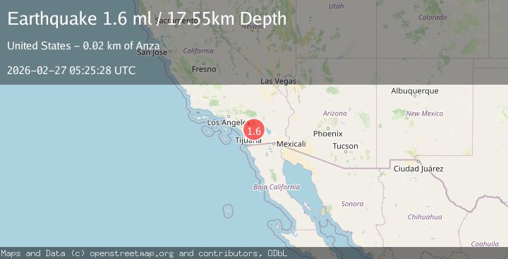
A 1.6 magnitude earthquake struck on 10 km NNW of Warner Springs, CA, at Fri, 27 Feb 2026 05:25:28 GMT. Depth: 17.5499992370605km. Reviewed by USGS seismologists, this minor quake occurred at a magnitude type of ml.
Magnitude
1.6
ml
Source
USGS
Intensity
-
Agency Reports
1 Sources| Source | Magnitude | Depth | Time |
|---|---|---|---|
| USGSPrimary | 1.6 | 18 km | 1 hour ago |
Earthquake Details
AutomaticEvent IDusgs_ci41404968
Tsunami PotentialNo
Magnitude Typeml
Nearest Places
- 1.5 km
- 2.0 km
- 2.5 km
- 2.5 km
- 2.5 km
Comments
Join the discussion about this event.
Latest Earthquakes
0.5Mag
6 km NW of The Geysers, CA
Time1 hour ago
Depth2.60 km
SourceUSGS (Automatic)
3.4Mag
NORTHERN CALIFORNIA
Time1 hour ago
Depth3.30 km
SourceNC (Automatic)
2.8Mag
Salta, Argentina
Time1 hour ago
Depth223.27 km
SourceVYT (Automatic)
0.7Mag
SWITZERLAND
Time1 hour ago
Depth3.20 km
SourceETHZ (Automatic)
3.8Mag
MYANMAR
Time1 hour ago
Depth10.00 km
SourceTSB (Automatic)
Nearby Earthquakes
0.8Mag
15 km SSE of Anza, CA
Time4 days ago
Depth9.67 km
SourceUSGS (Automatic)
0.6Mag
14 km SSE of Anza, CA
Time1 week ago
Depth6.77 km
SourceUSGS (Automatic)
0.5Mag
15 km SSE of Anza, CA
Time6 days ago
Depth9.27 km
SourceUSGS (Automatic)
1.8Mag
12 km SSE of Anza, CA
Time1 month ago
Depth8.58 km
SourceUSGS (Automatic)
0.3Mag
12 km SSE of Anza, CA
Time1 week ago
Depth10.22 km
SourceUSGS (Automatic)