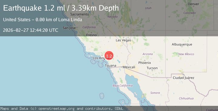
Earthquake 3 km ESE of Loma Linda, CA
Fri, 27 Feb 2026 12:44:20 GMT
Time1 hour ago
Location
34.0395, -117.2323
Depth
3.4 KM
Event Summary
A 1.2 magnitude earthquake struck on 3 km ESE of Loma Linda, CA, at Fri, 27 Feb 2026 12:44:20 GMT. Depth: 3.39000010490417km. Reviewed by USGS seismologists, this minor quake occurred at a magnitude type of ml.
Magnitude
1.2
ml
Source
USGS
Intensity
-
Agency Reports
1 Sources| Source | Magnitude | Depth | Time |
|---|---|---|---|
| USGSPrimary | 1.2 | 3 km | 1 hour ago |
Earthquake Details
AutomaticEvent IDusgs_ci41405256
Tsunami PotentialNo
Magnitude Typeml
Nearest Places
- 0.3 km
- 1.0 km
- 1.0 km
- 1.0 km
- 1.4 km
Comments
Join the discussion about this event.
Latest Earthquakes
2.0Mag
Central Alaska
Time1 hour ago
Depth115.97 km
SourceVYT (Automatic)
3.6Mag
southern Peru
Time1 hour ago
Depth208.86 km
SourceVYT (Automatic)
2.9Mag
Azerbaijan
Time1 hour ago
Depth0.00 km
SourceVYT (Automatic)
1.8Mag
Alaska Peninsula
Time1 hour ago
Depth93.87 km
SourceVYT (Automatic)
2.1Mag
Sumbawa Region, Indonesia
Time1 hour ago
Depth9.70 km
SourceBMKG
Nearby Earthquakes
1.1Mag
3 km ESE of Loma Linda, CA
Time2 days ago
Depth4.65 km
SourceUSGS (Automatic)
1.3Mag
3 km ESE of Loma Linda, CA
Time2 hours ago
Depth4.18 km
SourceUSGS (Automatic)
1.3Mag
3 km ESE of Loma Linda, CA
Time3 hours ago
Depth3.89 km
SourceUSGS (Automatic)
1.1Mag
2 km ESE of Loma Linda, CA
Time1 hour ago
Depth3.43 km
SourceUSGS (Automatic)
3.0Mag
GREATER LOS ANGELES AREA, CALIF.
Time8 years ago
Depth18.10 km
SourceSCSN (Automatic)