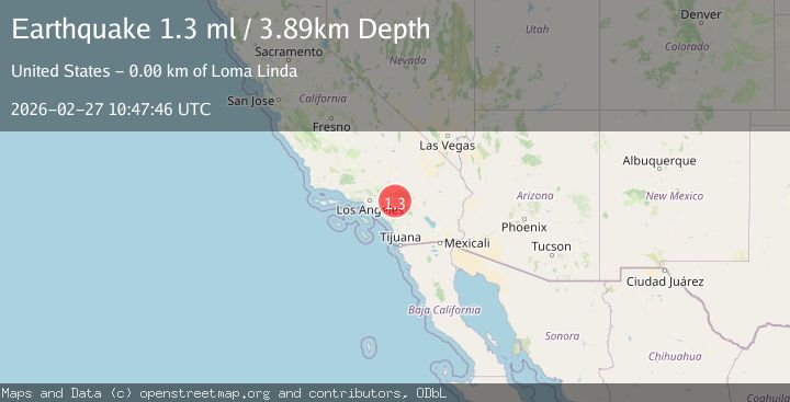
Earthquake 3 km ESE of Loma Linda, CA
Fri, 27 Feb 2026 10:47:46 GMT
Time2 hours ago
Location
34.0355, -117.2347
Depth
3.9 KM
Event Summary
A 1.3 magnitude earthquake struck on 3 km ESE of Loma Linda, CA, at Fri, 27 Feb 2026 10:47:46 GMT. Depth: 3.89000010490417km. Reviewed by USGS seismologists, this minor quake occurred at a magnitude type of ml.
Magnitude
1.3
ml
Source
USGS
Intensity
-
Agency Reports
1 Sources| Source | Magnitude | Depth | Time |
|---|---|---|---|
| USGSPrimary | 1.3 | 4 km | 2 hours ago |
Earthquake Details
AutomaticEvent IDusgs_ci41405112
Tsunami PotentialNo
Magnitude Typeml
Nearest Places
- 0.8 km
- 0.9 km
- 1.4 km
- 1.5 km
- 1.6 km
Comments
Join the discussion about this event.
Latest Earthquakes
2.4Mag
Sumbawa region, Indonesia
Time2 hours ago
Depth15.26 km
SourceVYT (Automatic)
3.6Mag
Tarapaca, Chile
Time2 hours ago
Depth160.64 km
SourceVYT (Automatic)
1.6Mag
Greater Los Angeles area, California
Time2 hours ago
Depth0.00 km
SourceVYT (Automatic)
0.6Mag
19 km ESE of Julian, CA
Time2 hours ago
Depth8.16 km
SourceUSGS (Automatic)
2.4Mag
Alaska Peninsula
Time2 hours ago
Depth29.79 km
SourceVYT (Automatic)
Nearby Earthquakes
1.3Mag
2 km SE of Loma Linda, CA
Time3 weeks ago
Depth14.22 km
SourceUSGS (Automatic)
1.1Mag
3 km ESE of Loma Linda, CA
Time2 days ago
Depth4.65 km
SourceUSGS (Automatic)
3.0Mag
GREATER LOS ANGELES AREA, CALIF.
Time8 years ago
Depth18.10 km
SourceSCSN (Automatic)
1.5Mag
2 km SE of Loma Linda, CA
Time3 weeks ago
Depth6.59 km
SourceUSGS (Automatic)
0.7Mag
2 km SE of Loma Linda, CA
Time1 week ago
Depth3.87 km
SourceUSGS (Automatic)