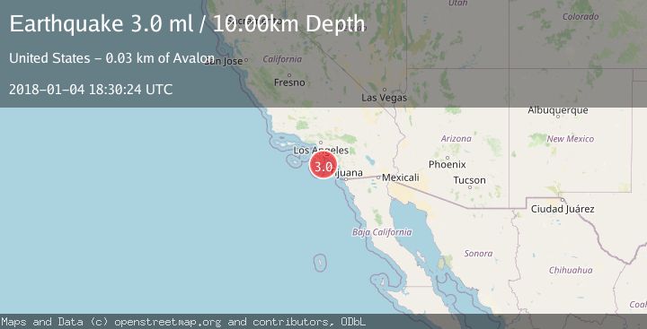
Earthquake GULF OF SANTA CATALINA, CALIF.
Thu, 04 Jan 2018 18:30:24 GMT
Time8 years ago
Location
33.1700, -118.0900
Depth
10.0 KM
Event Summary
A 3.0 magnitude earthquake struck on GULF OF SANTA CATALINA, CALIF., at Thu, 04 Jan 2018 18:30:24 GMT. Depth: 10km. Reviewed by NEIC seismologists, this minor quake occurred at a magnitude type of ml.
Magnitude
3.0
ml
Source
NEIC
Intensity
-
Agency Reports
1 Sources| Source | Magnitude | Depth | Time |
|---|---|---|---|
| NEICPrimary | 3.0 | 10 km | 8 years ago |
Earthquake Details
AutomaticEvent IDemsc_NEIC_20180104_0000085
Tsunami PotentialNo
Magnitude Typeml
Nearest Places
- 22.2 km
- 25.3 km
- 25.3 km
- 25.7 km
- 25.8 km
Comments
Join the discussion about this event.
Latest Earthquakes
1.4Mag
Southern Alaska
Time7 minutes ago
Depth28.08 km
SourceVYT (Automatic)
2.2Mag
western Texas
Time17 minutes ago
Depth73.85 km
SourceVYT (Automatic)
2.6Mag
CRETE, GREECE
Time18 minutes ago
Depth31.10 km
SourceNOA (Automatic)
3.3Mag
Tarapaca, Chile
Time20 minutes ago
Depth112.92 km
SourceVYT (Automatic)
1.2Mag
Central Alaska
Time24 minutes ago
Depth14.16 km
SourceVYT (Automatic)
Nearby Earthquakes
3.0Mag
GULF OF SANTA CATALINA, CALIF.
Time1 year ago
Depth5.90 km
SourceSCSN (Automatic)
1.8Mag
Gulf of Santa Catalina, California
Time2 weeks ago
Depth10.00 km
SourceVYT (Automatic)
3.0Mag
GULF OF SANTA CATALINA, CALIF.
Time10 years ago
Depth1.00 km
SourceNEIR (Automatic)
3.0Mag
GULF OF SANTA CATALINA, CALIF.
Time6 years ago
Depth13.00 km
SourceNEIC (Automatic)
1.6Mag
16 km WSW of Dana Point, CA
Time1 month ago
Depth12.63 km
SourceUSGS (Automatic)